National Register of Historic Places listings in Capitol Reef National Park facts for kids
Capitol Reef National Park in Utah is a special place. It's known for its amazing rock formations, canyons, and unique history. Many important historical sites within the park are listed on the National Register of Historic Places. This is a special list kept by the United States government. It helps protect places that are important to American history.
These sites tell stories about the people who lived and worked in this area long ago. They include old cabins, schoolhouses, and even mining sites. There are ten such places in Capitol Reef National Park that are recognized for their historical value.
Contents
Exploring Historic Sites in Capitol Reef
Capitol Reef National Park is home to many fascinating historical sites. These places help us understand how people lived in this rugged landscape. Each site has a unique story to tell.
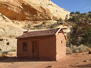
Elijah Cutler Behunin Cabin
The Elijah Cutler Behunin Cabin is a small, old cabin. It was built by Elijah Cutler Behunin. He was one of the early settlers in the area. The cabin shows how tough life was for pioneers. It is located about 1.5 miles southeast of Horse Mesa.
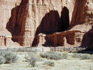
Cathedral Valley Corral
The Cathedral Valley Corral is an old structure used for keeping animals. It is found in the remote Cathedral Valley. This corral reminds us of the ranching history in the park. It is located in the Middle Desert.
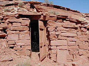
Civilian Conservation Corps Powder Magazine
This building was a powder magazine. It stored explosives for the Civilian Conservation Corps (CCC). The CCC was a program during the Great Depression. Young men worked on public projects, like building roads and trails. This magazine is south of the Fremont River.
Fruita Rural Historic District
The Fruita Rural Historic District is a larger area. It includes many historic buildings and orchards. Fruita was a small farming community. People grew fruit trees here because of the water from the Fremont River. This district runs along State Route 24.
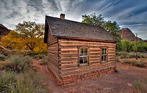
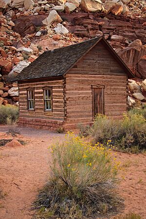
Fruita Schoolhouse
The Fruita Schoolhouse is a one-room school. It taught children from the Fruita community. It is a great example of early education in rural Utah. The schoolhouse is located right on State Route 24.
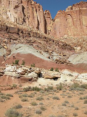
Hanks' Dugouts
Hanks' Dugouts are shelters dug into the earth. They were used by early settlers, including Ephraim Hanks. These dugouts provided basic homes in a harsh environment. They are found where Pleasant Creek and South Draw meet.
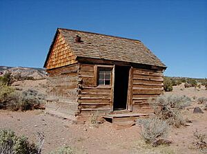
Lesley Morrell Line Cabin and Corral
This cabin and corral were used by Lesley Morrell. He was a rancher in the area. Line cabins were small shelters. Ranchers used them while tending to their cattle. This site is in Cathedral Valley.
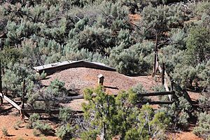
Oak Creek Dam
The Oak Creek Dam is an old dam structure. It was built to help manage water resources. Water was very important for farming and living in this dry region. The dam is located on Oak Creek.
Oyler Mine
The Oyler Mine was a uranium mine. Uranium was an important mineral, especially in the mid-20th century. This mine shows the history of mining in the park. It is at the meeting point of Grand Wash and Cohab Canyon.
Pioneer Register
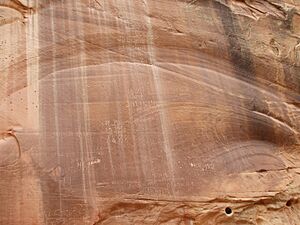
The Pioneer Register is a unique historical site. It is a rock face where early pioneers carved their names. It's like an old guestbook carved into stone. This register is southwest of Capitol Wash.


