National Register of Historic Places listings in Closter, New Jersey facts for kids
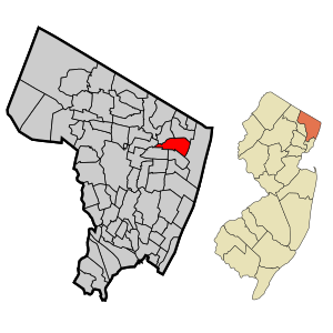
Closter, New Jersey, is a town with a rich history. Many buildings here are very old and special. They are so important that they are listed on the National Register of Historic Places. This list helps protect places that tell us about the past.
This article will introduce you to some of these amazing historic homes in Closter. These houses show us what life was like long ago. They help us understand the history of our community.
Contents
What is the National Register of Historic Places?
The National Register of Historic Places is an official list. It includes buildings, sites, and objects that are important to American history. Being on this list means a place is special. It might be important for its history, its architecture, or what happened there.
When a place is on the Register, it gets special recognition. It also helps protect it from being changed or torn down. This way, future generations can learn from these historic sites. It's like a national treasure map of important places!
Closter's Historic Houses
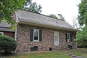
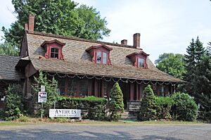
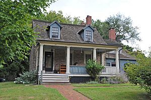
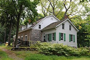
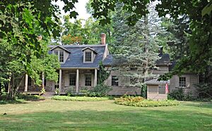
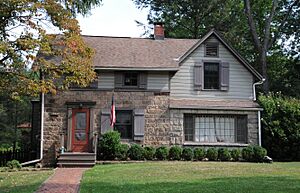
Closter has several homes that are on the National Register. Most of these are old farmhouses. They show how people lived and built homes many years ago. Let's take a look at some of them.
William De Clark House
The William De Clark House is located at 145 Piermont Road. It was added to the National Register on January 9, 1983. This house is a great example of early American architecture. It helps us imagine life in Closter centuries ago.
Abram Demaree House
You can find the Abram Demaree House at Schraalenburgh and Old Hooks Roads. It joined the Register on November 1, 1979. This house is another important piece of Closter's past. It shows the style of homes built by early settlers.
Haring-Auryanson House
The Haring-Auryanson House is at 377 Piermont Road. It became a historic site on August 15, 1983. This building adds to the story of Closter's development. It stands as a reminder of the town's architectural heritage.
Harold Hess Lustron House
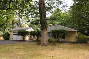
The Harold Hess Lustron House is a bit different. It's at 421 Durie Avenue. This house was added to the Register on July 25, 2000. Lustron homes were special pre-fabricated houses. They were made from steel in the mid-20th century. This house shows a unique part of modern history.
John Nagle House
The John Nagle House is located at 75 Harvard Street. It was recognized as historic on January 9, 1983. This house is another example of the traditional homes in Closter. It helps preserve the look and feel of old neighborhoods.
Henry Naugle House
You can find the Henry Naugle House at 119 Hickory Lane. It was added to the Register on January 9, 1983. This house is part of a group of homes that tell the story of the Naugle family. They were important early residents of the area.
Isaac Naugle House
The Isaac Naugle House is close by at 80 Hickory Lane. It also joined the Register on January 9, 1983. Like the Henry Naugle House, it helps us understand the history of families who shaped Closter.
Tallman-Vanderbeck House
The Tallman-Vanderbeck House is at 639 Piermont Road. It was listed on January 9, 1983. This house represents the architectural styles of its time. It is a valuable part of Closter's historic landscape.
David & Cornelius Van Horn House
The David & Cornelius Van Horn House is at 11 Cedar Lane. It was added to the Register on January 9, 1983. This house is another example of the historic homes that make Closter unique. It shows the craftsmanship of the past.
Vervalen House
Finally, the Vervalen House is located at 151 West Street. It became a historic site on January 9, 1983. This house, like the others, contributes to the rich history of Closter. It helps us remember the people and times that came before us.
These historic homes are important. They help us connect with the past and understand how Closter grew. Next time you are in Closter, try to spot some of these amazing buildings!


