National Register of Historic Places listings in Gallatin County, Illinois facts for kids
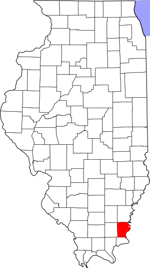
Welcome to Gallatin County, Illinois! This article will tell you about some really cool and important places here. These places are so special that they are listed on the National Register of Historic Places. This is like a special list kept by the United States government. It helps protect buildings, sites, and objects that are important to American history.
In Gallatin County, there are seven amazing places on this list. Each one has a unique story to tell about the past. Let's explore them!
Historic Places in Gallatin County
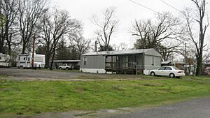
Camp Mather-Camp Logan
Imagine a place where soldiers trained long ago! Camp Mather and Camp Logan were two military training camps. They were located near Shawneetown. These camps played a part in preparing soldiers for important events in history. They remind us of the brave people who served our country. The site was added to the National Register in 1998.
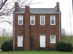
Crenshaw House
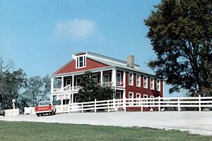
The Crenshaw House is a very old and interesting building near Equality. It was built a long time ago, in the 1830s. This house is known for its unique architecture. It stands as a reminder of the past and the different ways people lived. It became a historic place on the National Register in 1985.
Duffy Site
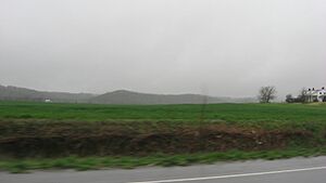
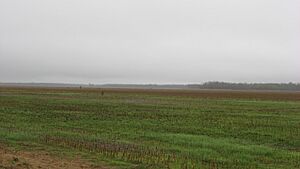
The Duffy Site is not a building, but an important archaeological area. It is located southeast of New Haven. This site holds clues about ancient people who lived in this area many centuries ago. Archaeologists study places like this to learn about early human life. It was added to the National Register in 1977.
John Marshall House Site
In Old Shawneetown, right by the Ohio River, you can find the John Marshall House Site. This historic home tells a story about the early days of the town. It shows us how people lived and built their homes along the river. The site was recognized as a historic place in 1975.
Robert and John McKee Peeples Houses
Also in Old Shawneetown are the Robert and John McKee Peeples Houses. These are two more historic homes on Main Street. They show the architectural styles of the past. These houses help us understand the history and development of Old Shawneetown. They were added to the National Register in 1983.
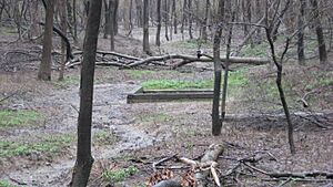
Saline Springs
The Saline Springs site near Equality is a very important historical spot. For a long time, this place was known for its natural salt springs. Salt was a very valuable resource in early times. People would come here to get salt. This site tells us about early industries and trade in Illinois. It was listed on the National Register in 1973.
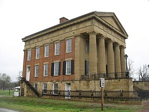
State Bank of Illinois
The State Bank building in Old Shawneetown is a grand and historic structure. It stands at the corner of Main and Washington Streets. This building was once a very important bank for the state of Illinois. It shows the financial history of the region. It was added to the National Register in 1972.
Images for kids


