National Register of Historic Places listings in Madison County, Alabama facts for kids
Welcome to Madison County, Alabama! Did you know that this area is home to many amazing old buildings and places? These special spots are so important that they are listed on something called the National Register of Historic Places. It's like a special list of treasures that we want to keep safe for future generations.
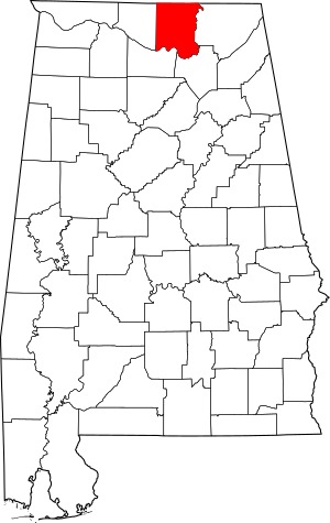
In Madison County, there are 87 different places and areas on this list. Six of these are even more special and are called National Historic Landmarks. They are super important to the history of the whole country!
Contents
- What is the National Register of Historic Places?
- Exploring Madison County's Historic Treasures
- Why are these places important to kids?
- Images for kids
What is the National Register of Historic Places?
The National Register of Historic Places is the official list of places in the United States that are worth saving. These places could be buildings, neighborhoods, archaeological sites, or even objects. They are important because they tell us stories about our past. They might be linked to important events, famous people, or show special ways of building things.
When a place is added to this list, it means it's recognized for its historical value. This helps protect it and can even provide money to help fix it up. It's all about making sure these pieces of history don't disappear!
Exploring Madison County's Historic Treasures
Madison County has a rich history, from early settlements to its role in the space race. Let's look at some of the cool places on the National Register.
Historic Buildings and Homes
Many old homes and buildings in Madison County have amazing stories.
Alabama A&M University Historic District
The Alabama Agricultural and Mechanical University Historic District is a special area on the university campus. It was added to the list in 2001. This district includes some of the oldest and most important buildings at the university. It reminds us of the long history of education in Alabama.
James H. Bibb House
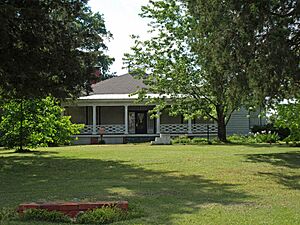
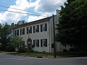
The James H. Bibb House is located in Madison, Alabama. This house was built a long time ago and was added to the National Register in 1984. It's a great example of the kind of homes people lived in back then.
William Burritt Mansion
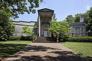
The William Burritt Mansion is part of "Burritt on the Mountain" in Huntsville. It was listed in 1992. This mansion offers a peek into the past and how people lived in the area. It's also known for its amazing views!
Joel Eddins House
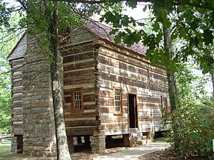
The Joel Eddins House is another old home listed in 1996. Interestingly, this house was moved in 2007 from a different county to its current spot in Huntsville. It shows how much people care about saving these historic structures.
Important Churches and Community Places
Churches and other community buildings often play a big part in a town's history.
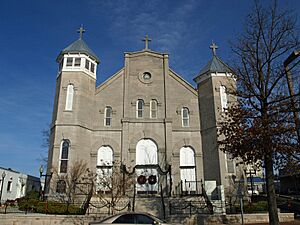
Church of the Visitation
The Church of the Visitation is a beautiful old church in Huntsville. It was added to the National Register in 1980. Churches like this are not just places of worship but also important parts of a community's story.
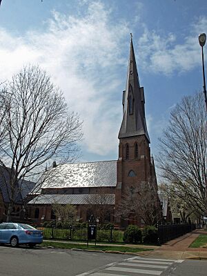
Episcopal Church of the Nativity
The Episcopal Church of the Nativity is another significant church in Huntsville. It was listed in 1974 and is even a National Historic Landmark! This means it's super important to the history of the entire country.
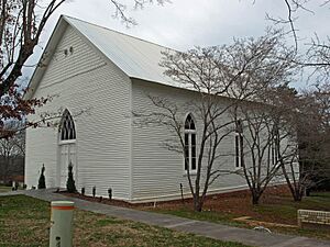
New Market Presbyterian Church
In the town of New Market, you'll find the New Market Presbyterian Church. This church, listed in 1988, is a key part of the town's history and community life.
Historic Districts: Whole Neighborhoods with Stories
Sometimes, it's not just one building that's historic, but a whole group of them! These are called historic districts.
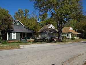
Dallas Mill Village Historic District
The Dallas Mill Village Historic District in Huntsville was added to the list in 2011. This area was once a village for workers at the Dallas Mill. It shows how people lived and worked in the past, especially during the time when textile mills were very important.
Five Points Historic District
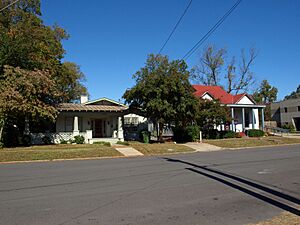
Huntsville's Five Points Historic District was listed in 2012. This neighborhood has many historic homes and buildings that show different styles of architecture from over the years. It's a great place to walk around and imagine what life was like long ago.
Gurley Historic District
The town of Gurley also has its own Gurley Historic District, listed in 2004. This district includes several streets with historic buildings, giving visitors a sense of the town's past.
Twickenham Historic District
One of the oldest and most famous historic districts in Huntsville is the Twickenham Historic District. It was first listed way back in 1973! This area is known for its beautiful old homes, many of which are from the 1800s. It's like stepping back in time!
Space Exploration Landmarks
Madison County, especially Huntsville, is famous for its role in space exploration. Some of these sites are so important they are National Historic Landmarks!
Neutral Buoyancy Space Simulator
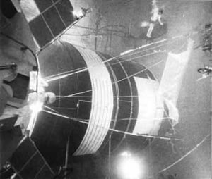
At the Marshall Space Flight Center in Huntsville, you'll find the Neutral Buoyancy Space Simulator. This amazing facility was used to train astronauts for missions in space. It was listed as a National Historic Landmark in 1985. Imagine practicing for space underwater!
Propulsion and Structural Test Facility
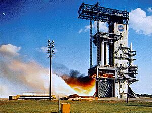
Also at the Marshall Space Flight Center is the Propulsion and Structural Test Facility. This site, listed in 1985, was crucial for testing rocket engines and parts. It helped make sure rockets were safe and powerful enough to go to space.
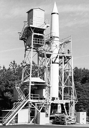
Redstone Test Stand
The Redstone Test Stand is another National Historic Landmark at the Marshall Space Flight Center, listed in 1976. This is where the powerful Redstone rockets were tested. These rockets were very important in the early days of the American space program.
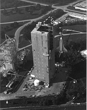
Saturn V Dynamic Test Stand
The Saturn V Dynamic Test Stand is a huge structure at the Marshall Space Flight Center. It was used to test the mighty Saturn V rocket, which took astronauts to the Moon! This landmark was listed in 1985.
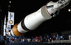
Saturn V Space Vehicle
Last but not least, the actual Saturn V Space Vehicle itself is a National Historic Landmark! It's located at Tranquility Base in Huntsville and was listed in 1978. This incredible rocket is a symbol of human ingenuity and exploration.
Why are these places important to kids?
These historic places are like giant storybooks. They help us understand how people lived, worked, and played in the past. By visiting them, you can imagine what life was like for kids your age many years ago. They also teach us about important events and how our communities grew. Protecting these sites means we can keep learning from them for a long, long time!
Images for kids
 | Jessica Watkins |
 | Robert Henry Lawrence Jr. |
 | Mae Jemison |
 | Sian Proctor |
 | Guion Bluford |


