National Register of Historic Places listings in Monroe County, Ohio facts for kids
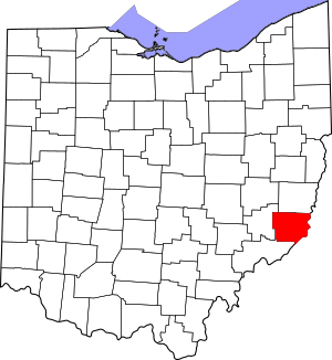
Welcome to Monroe County, Ohio! This page lists special places in the county that are part of the National Register of Historic Places. Think of this register as a national list of important buildings, bridges, and other spots that have a lot of history. These places are protected because they tell us stories about the past.
Monroe County is home to 10 amazing places on this list. Each one has a unique story and helps us understand what life was like long ago. Let's explore some of these cool historic sites!
Historic Treasures in Monroe County
Monroe County has many interesting places that are officially recognized for their history. These sites are important because they show us how people lived, worked, and built things in the past.
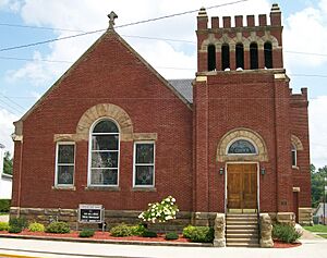
First United Methodist Church
- Location: 136 North Main Street, Woodsfield
- Listed: August 9, 2006
This church is a beautiful building in Woodsfield. It has been a central part of the community for many years, serving as a place for people to gather and worship. Its architecture shows the style of buildings from when it was built.
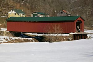
Foreaker Covered Bridge
- Location: About 3 miles east of Graysville on Plainview Road, Perry Township
- Listed: June 5, 1975
Covered bridges are like tunnels over water, protecting the wooden bridge parts from weather. The Foreaker Bridge is a great example of these old structures. It reminds us of a time when travel was very different.
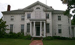
Hollister-Parry House
- Location: 217 Eastern Avenue, Woodsfield
- Listed: April 16, 1980
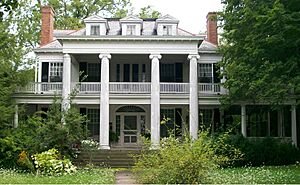
The Hollister-Parry House is a historic home in Woodsfield. Old houses like this one often have unique architectural details and tell stories about the families who lived there. It's a peek into the past lives of Monroe County residents.
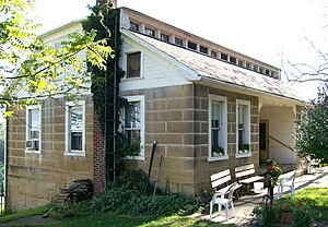
Frederick Kindleberger Stone House and Barn
- Location: Northwest of Clarington on State Route 25, Switzerland Township
- Listed: February 8, 1980
This property includes both a stone house and a barn. Buildings made of stone are very strong and can last a long time. This house and barn show us how early settlers in the area built their homes and farms.
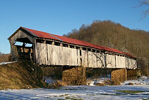
Knowlton Covered Bridge
- Location: North of Rinard Mills, Washington Township
- Listed: March 11, 1980
Another fantastic covered bridge in Monroe County! The Knowlton Covered Bridge is a landmark that helps us imagine what it was like to cross rivers before modern bridges were common. It's a true piece of engineering history.
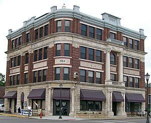
Monroe Bank
- Location: 117 Main Street, Woodsfield
- Listed: March 11, 1980
The Monroe Bank building in Woodsfield is a historic structure that once housed an important financial institution. Banks are often grand buildings, showing the importance of money and business in a town's growth.
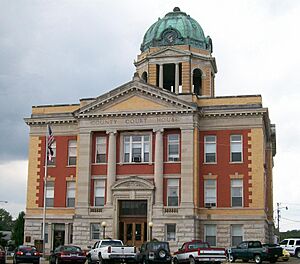
Monroe County Courthouse
- Location: Main Street, Woodsfield
- Listed: July 21, 1980
The courthouse is usually the most important building in a county seat. It's where laws are made and justice is served. The Monroe County Courthouse is a significant building that has seen many important decisions made over the years.
William C. Mooney House
- Location: 122 North Paul Street, Woodsfield
- Listed: March 15, 1982
The William C. Mooney House is another historic home in Woodsfield. It represents the residential architecture of its time and gives us clues about the lives of prominent citizens who lived in the area.
Walter Ring House and Mill Site
- Location: Northern side of Township Road 575 at its crossing of the Little Muskingum River, Benton Township
- Listed: November 28, 1980
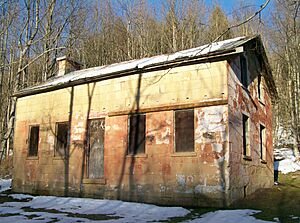
This site includes both a historic house and the remains of a mill. Mills were very important long ago for grinding grain into flour. This site shows how people used natural resources like rivers to power their businesses.
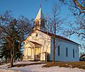
Salem Church
- Location: 48452 State Route 255, north of Sardis, Ohio Township
- Listed: August 18, 1992
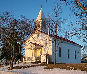
The Salem Church is a historic church building located north of Sardis. Like other old churches, it served as a community hub and a place of worship for generations. Its history is tied to the people who lived and gathered there.
Images for kids


