
National Register of Historic Places listings in Pittsburgh, Pennsylvania facts for kids

Pittsburgh is a city full of amazing history! Many buildings, parks, and bridges here are so special that they are listed on something called the National Register of Historic Places. Think of it like a Hall of Fame for important historical spots across the United States. When a place is on this list, it means it's worth protecting because it tells a unique story about our past.
There are over 250 historic places in Allegheny County, and Pittsburgh is home to about 180 of them! Some are even more special and are called National Historic Landmarks. These are places that are important to the history of the entire country, not just the local area. Let's explore some of these cool historic sites in Pittsburgh!
Contents
What is the National Register of Historic Places?
The National Register of Historic Places (often called the NRHP) is the official list of places in the United States that are important for their history, architecture, archaeology, engineering, or culture. It's managed by the National Park Service. When a building or area is added to this list, it helps make sure it's preserved for future generations. It also means people might get help to restore and care for these places.
Why are places listed?
Places get listed for many reasons. Maybe a famous person lived there, or an important event happened. Sometimes, it's because the building itself is a great example of a certain style of architecture. Other times, it's an entire neighborhood that shows how people used to live and work. Each listing helps us learn more about the past and how our communities grew.
Cool Historic Places in Pittsburgh
Pittsburgh has a wide variety of historic places, from grand courthouses to old schools and beautiful parks. Here are just a few examples of the many interesting sites on the National Register.
Allegheny County Courthouse and Jail

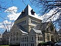
The Allegheny County Courthouse and Jail, located in Downtown Pittsburgh, is a truly impressive building. It was designed by a famous architect named H.H. Richardson and finished in 1888. This building is a great example of Romanesque Revival architecture, which means it looks a bit like old Roman buildings with its big arches and strong stone walls. It's not just a courthouse; it's also a National Historic Landmark because of its amazing design and importance to American architecture.
Allegheny Cemetery

Allegheny Cemetery is more than just a burial ground; it's a beautiful, historic park in Central Lawrenceville. It was established in 1844 and is one of the oldest and largest cemeteries in Pittsburgh. It's known for its lovely landscapes, winding paths, and impressive monuments. Many important Pittsburghers are buried here, and walking through it is like stepping back in time. It's a peaceful place that also teaches us about the city's past.
Allegheny Observatory

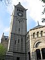
Up in Perry North, you'll find the Allegheny Observatory. This observatory has been a center for studying the stars since it was built in 1879. It's part of the University of Pittsburgh and has played a role in many astronomical discoveries. Imagine looking through powerful telescopes, just like astronomers did over a hundred years ago! It's a reminder of how much we've learned about space.
Carnegie Institute and Library

The Carnegie Institute and Library, located in Oakland, is a huge complex of buildings that houses museums and a library. It was founded by Andrew Carnegie, a famous industrialist and philanthropist, in 1895. This place is a treasure chest of knowledge, with the Carnegie Museum of Natural History, the Carnegie Museum of Art, and the Carnegie Library of Pittsburgh all under one roof. It's a place where you can explore everything from dinosaur bones to famous paintings and countless books.
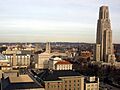
Cathedral of Learning

Also in Oakland, the Cathedral of Learning is one of the tallest university buildings in the world! It's part of the University of Pittsburgh and was completed in 1937. This skyscraper is designed in a Gothic Revival style, making it look like a grand cathedral. Inside, it has unique "Nationality Rooms" that are decorated in the styles of different countries, celebrating Pittsburgh's diverse heritage. It's a truly iconic building.
Duquesne Incline

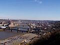
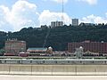
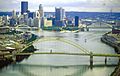
The Duquesne Incline is a fun and historic way to get up Mount Washington. It's a cable car system that has been carrying people up and down the steep hillside since 1877! From the top, you get one of the most famous and beautiful views of the Pittsburgh skyline, where the Allegheny and Monongahela Rivers meet to form the Ohio River. It's a working piece of history that's still used every day.
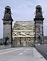
Smithfield Street Bridge

Crossing the Monongahela River in Downtown Pittsburgh, the Smithfield Street Bridge is another National Historic Landmark. It was built in 1883 and is one of the oldest bridges of its kind in the United States. It uses a special design called a "lenticular truss," which looks like a series of eye-shaped arches. This bridge was a big deal for engineering when it was built and is still an important part of the city's transportation today.
Schenley Park

Schenley Park is a huge, beautiful urban park that covers over 450 acres in Squirrel Hill South. It was given to the city in 1889 by Mary Schenley. The park offers trails, sports fields, and even the Phipps Conservatory. It's a wonderful green space where people can relax, play, and enjoy nature right in the middle of the city.
Soldiers and Sailors Memorial Hall

Located in Oakland, the Soldiers and Sailors Memorial Hall is a grand building dedicated to honoring military veterans from Allegheny County. It was completed in 1910 and is a powerful symbol of remembrance and respect for those who served in the armed forces. Inside, you'll find a large auditorium and exhibits that tell stories of courage and sacrifice.
Strip Historic District

The Strip Historic District is a vibrant neighborhood known for its markets, restaurants, and unique shops. It's located along the Allegheny River and was once a major industrial and transportation hub. The historic district includes many old warehouses and commercial buildings that tell the story of Pittsburgh's past as a busy center for trade and industry. It's a great place to visit and experience the city's lively spirit.
Images for kids
-
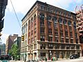
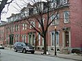
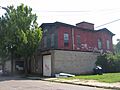
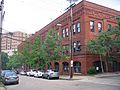
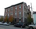
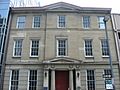
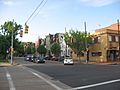
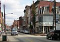
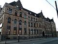
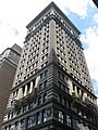
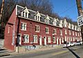
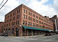
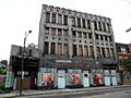
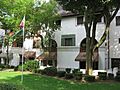
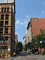
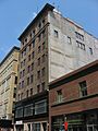
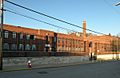
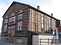
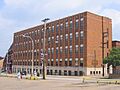
Buildings at 109-115 Wood Street
-
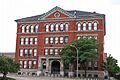
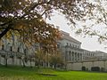
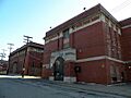
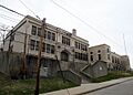
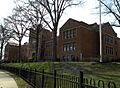
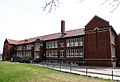
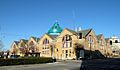
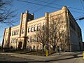
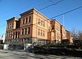
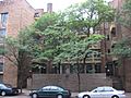
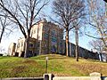
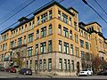
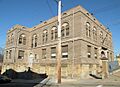
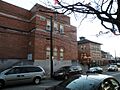
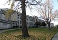
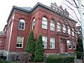
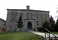
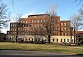
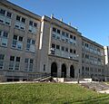
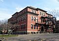
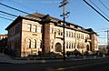
Allegheny High School
-
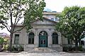
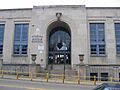
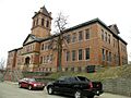
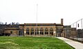
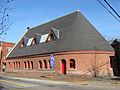
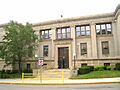
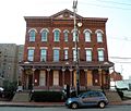
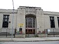
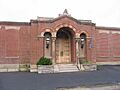
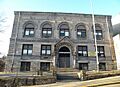
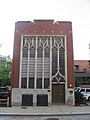
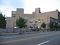
Allegheny Post Office
-
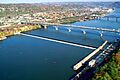
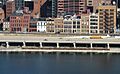
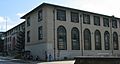
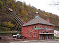
Allegheny River Lock and Dam No. 2
-
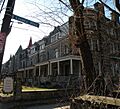
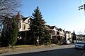
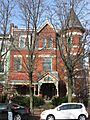
Allegheny West Historic District
-
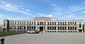
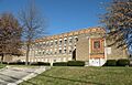
Taylor Allderdice High School
-
Alpha Terrace Historic District
-
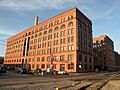
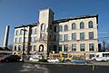
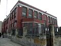
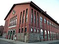
Armstrong Cork Company
-
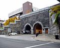
Armstrong Tunnel
-
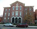
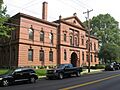
Arsenal Junior High School
-
Baxter High School
-
Bayard School
-
Beechwood Elementary School
-
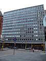
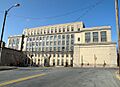
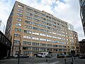
Bell Telephone Company of Pennsylvania Western Headquarters Building
-
Beltzhoover Elementary School
-
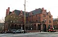
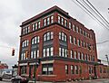
Bindley Hardware Company Building
-
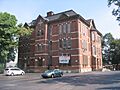
Birmingham Public School
-
Boggs Avenue Elementary School
-
John A. Brashear House
-
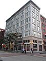
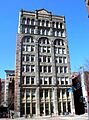
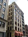
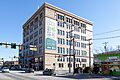
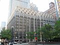
Buhl Building
-
Burke Building
-
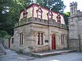
Butler Street Gatehouse
-
Byers-Lyons House
-
Byrnes & Kiefer Building
-
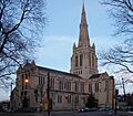
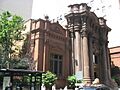
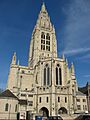
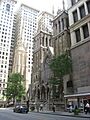
Calvary Episcopal Church
-
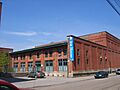
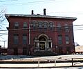
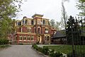
Carnegie Free Library of Allegheny
-
Century Building
-
Chatham Village Historic District
-
Colfax Elementary School
-
Clifford B. Connelly Trade School
-
Conroy Junior High School
-
Consolidated Ice Company Factory No. 2
-
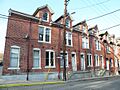
Deutschtown Historic District
-
Dilworth Elementary School
-
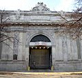
Dollar Savings Bank
-
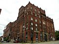
Duquesne Brewing Company
-
East Carson Street Historic District
-
East Liberty Commercial Historic District
-
East Liberty Market
-
Eberhardt and Ober Brewery
-
Emmanuel Episcopal Church
-
Ewart Building
-
Fifth Avenue High School
-
Firstside Historic District
-
Forks of the Ohio
-
Fort Pitt Elementary School
-
Fortieth Street Bridge
-
Foster School
-
Fourth Avenue Historic District
-
John Frew House
-
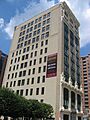
Frick Building and Annex
-
Henry Clay Frick Training School for Teachers
-
Fulton Building
-
Fulton Elementary School
-
Greenfield Elementary School
-
Hartley-Rose Belting Company Building
-
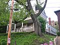
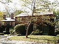
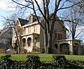
Heathside Cottage
-
H.J. Heinz Company
-
Henderson-Metz House
-
Highland Building
-
Highland Park Residential Historic District
-
Highland Towers Apartments
-
Hoene-Werle House
-
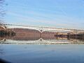
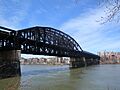
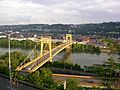
Homestead High-Level Bridge
-
House at 200 West North Avenue
-
Houses at 2501-2531 Charles Street
-
Houses at 838-862 Brightridge Street
-
Hunt Armory
-
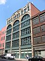
Kaufmann's Department Store Warehouse
-
Knoxville Junior High School
-
Langley High School
-
Larimer School
-
Latimer School
-
Lawrence Public School
-
Lemington Elementary School
-
Letsche Elementary School
-
Liberty Bridge
-
Liberty School No. 4, Friendship Building
-
Lincoln Elementary School
-
Linden Avenue School
-
Madison Elementary School
-
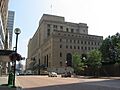
Main Building, U.S. Bureau of Mines
-
Manchester Historic District
-
McCleary Elementary School
-
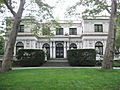
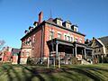
McCook Family Estate
-
McKees Rocks Bridge
-
Mexican War Streets Historic District
-
Mifflin Elementary School
-
Monongahela Incline
-
Moreland-Hoffstot House
-
John Morrow Elementary School
-
Samuel F.B. Morse School
-
New Granada Theater
-
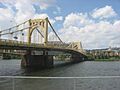
Ninth Street Bridge
-
Oakland Public School
-
Old Allegheny Rows Historic District
-
Old Heidelberg Apartments
-
David B. Oliver High School
-
Frederick J. Osterling Office and Studio
-
Park Place School
-
Penn-Liberty Historic District
-
Pennsylvania Railroad Bridge
-
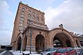
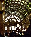
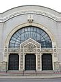
Pennsylvania Railroad Station
-
Perry High School
-
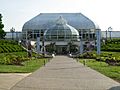
Phipps Conservatory
-
Phipps-McElveen Building
-
Pittsburgh & Lake Erie Railroad Station
-
Pittsburgh and Lake Erie Railroad Complex
-
Pittsburgh Athletic Association Building
-
Pittsburgh Brass Manufacturing Company Building
-
Pittsburgh Central Downtown Historic District
-
Pittsburgh Mercantile Company Building
-
Pittsburgh Renaissance Historic District
-
Pittsburgh Terminal Warehouse and Transfer Company
-
Prospect Junior High and Elementary School
-
Reymer Brothers Candy Factory
-
Rodef Shalom Temple
-
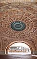
Rotunda of the Pennsylvania Railroad Station
-
St. Boniface Roman Catholic Church
-
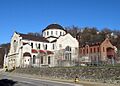
St. John the Baptist Ukrainian Catholic Church
-
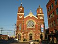
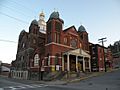
St. Stanislaus Kostka Roman Catholic Church
-
The Salvation Army Building
-
Schenley Farms Historic District
-
Schenley High School
-
Schiller Elementary School
-
James Scott House
-
Sellers House
-
Seventh Street Bridge
-
Shadyside Presbyterian Church
-
Sixteenth Street Bridge
-
Sixth Street Bridge
-
William Penn Snyder House
-
South Side High School
-
South Side Market Building
-
South Tenth Street Bridge
-
Springfield Public School
-
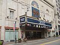
Stanley Theater and Clark Building
-
Sterrett Sub-District School
-
Teutonia Maennerchor Hall
-
Try Street Terminal
-
Tuberculosis Hospital of Pittsburgh
-
Union Trust Building
-
US Post Office and Courthouse-Pittsburgh
-
Ursuline Young Ladies Academy
-
Washington Vocational School
-
West End-North Side Bridge
-
Westinghouse High School
-
Whitehill-Gleason Motors
-
Wightman School
-
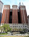
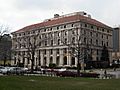
William Penn Hotel
-
August Wilson House
-
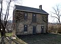
John Woods House
-
Woolslair Elementary School


.jpg)


