National Register of Historic Places listings in Wayne County, New York facts for kids
Have you ever wondered about the old buildings and places around you? Some places are so special and important to history that they get listed on the National Register of Historic Places. This is like a special list kept by the United States government to help protect and celebrate buildings, sites, and objects that have played a big part in American history, architecture, archaeology, engineering, or culture.
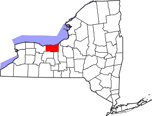
Wayne County, New York, is full of amazing historic spots! From old farmhouses to lighthouses and even parts of the famous Erie Canal, these places tell stories about how people lived, worked, and built communities long ago. Let's explore some of these cool historic treasures in Wayne County!
Contents
- Historic Homes and Farms
- Important Public Buildings and Churches
- Customs House (Sodus Point)
- East Palmyra Presbyterian Church
- First Presbyterian Church of Ontario Center
- Gates Hall and Pultneyville Public Square
- Grace Episcopal Church Complex (Lyons)
- Methodist Episcopal Church of Butler
- Red Brick Church (Sodus Center)
- Roe Cobblestone Schoolhouse
- Smith-Ely Mansion
- U.S. Post Offices
- Walling Cobblestone Tavern
- Wallington Cobblestone Schoolhouse District No. 8
- Zion Episcopal Church (Palmyra)
- Historic Districts
- Industrial and Transportation History
Historic Homes and Farms
Wayne County has many beautiful old homes and farms that show us how people lived in the past.
Alasa Farms
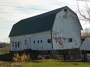
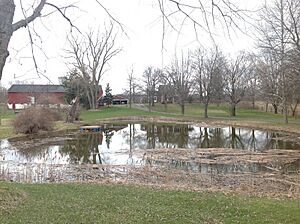
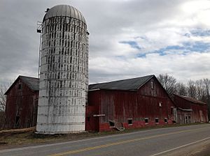
Located in Alton, Alasa Farms is a large historic farm. It was added to the National Register in 2009. Farms like this one were very important for feeding communities and helping the economy grow in early New York.
J. and E. Baker Cobblestone Farmstead
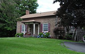
In Macedon, you can find the J. and E. Baker Cobblestone Farmstead. This farm was built using a unique style where smooth, rounded stones (cobblestones) were used to create the walls. This building method was popular in some parts of New York in the 1800s. It was listed in 1995.
Charles Bullis House
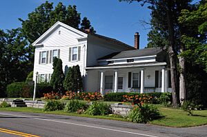
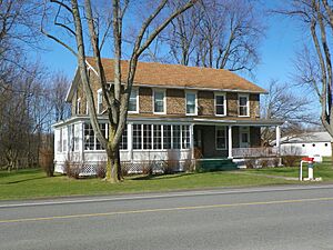
Also in Macedon, the Charles Bullis House is another historic home. Built in 1860, this house gives us a peek into the lives of families from that time. It was added to the National Register in 1986.
Ezra T. Phelps Farm Complex
Near Marion, the Ezra T. Phelps Farm Complex was listed in 1997. This complex includes not just the farmhouse but also other buildings that were part of a working farm, showing us how farms were organized in the past.
Preston-Gaylord Cobblestone Farmhouse
Another example of cobblestone architecture is the Preston-Gaylord Cobblestone Farmhouse in Sodus. It was built in 1838 and added to the National Register in 2009. It's cool to see how these unique stone houses have lasted so long!
Towar-Ennis Farmhouse and Barn Complex
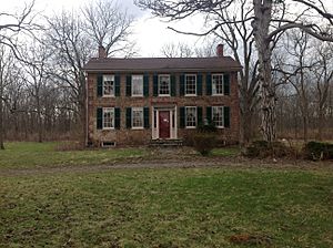
In Lyons, the Towar-Ennis Farmhouse and Barn Complex was listed in 2009. This property shows us a complete picture of a historic farm, including both the family's home and the barns where animals and crops were kept.
Important Public Buildings and Churches
Many public buildings and churches in Wayne County are also historically important.
Customs House (Sodus Point)
The Customs House in Sodus Point, listed in 1980, played a role in trade and shipping on Lake Ontario. Customs houses were places where taxes were collected on goods coming into the country.
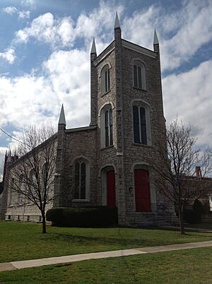
East Palmyra Presbyterian Church
This church, located in East Palmyra, was added to the National Register in 2002. Churches often served as important centers for community life, not just for worship but also for meetings and social events.
First Presbyterian Church of Ontario Center
The First Presbyterian Church of Ontario Center, listed in 1998, is another example of a historic church that has served its community for many years.
Gates Hall and Pultneyville Public Square
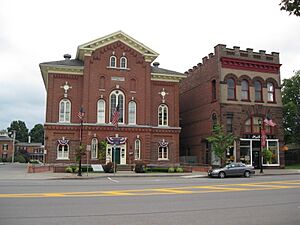
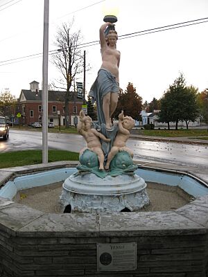
In Pultneyville, Gates Hall and the Public Square were listed in 2000. Gates Hall is a historic community building, and the public square would have been a central gathering place for the town.
Grace Episcopal Church Complex (Lyons)
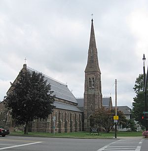
The Grace Episcopal Church Complex in Lyons, listed in 1994, includes the church and other related buildings. These complexes often show the architectural styles popular when they were built.
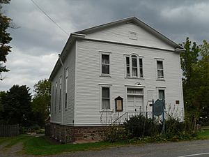
Methodist Episcopal Church of Butler
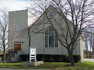
The Methodist Episcopal Church of Butler, listed in 1997, is another significant religious building in Wayne County.
Red Brick Church (Sodus Center)
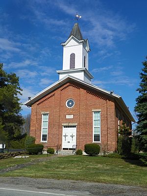
The Red Brick Church in Sodus Center, listed in 1997, is known for its distinctive brick construction.
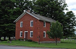
Roe Cobblestone Schoolhouse
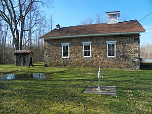
This schoolhouse in Butler, listed in 2008, is another example of cobblestone construction. Imagine going to school in a building like this!
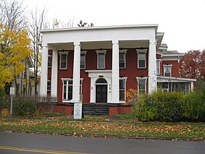
Smith-Ely Mansion
The Smith-Ely Mansion in Clyde, listed in 1992, is a grand historic home that likely belonged to an important family in the town's history.
U.S. Post Offices
Several U.S. Post Offices in Wayne County are listed, including those in Clyde (1988), Lyons (1989), and Newark (1989). These buildings often have unique architectural designs and were important for communication and connecting communities.
Walling Cobblestone Tavern
The Walling Cobblestone Tavern in Sodus, listed in 1994, was likely a place where travelers could stop for food and rest in earlier times.
Wallington Cobblestone Schoolhouse District No. 8
Another cobblestone schoolhouse, this one in Wallington, was listed in 1994. It reminds us of the early days of education in the area.
Zion Episcopal Church (Palmyra)
The Zion Episcopal Church in Palmyra, listed in 1996, is a beautiful example of historic church architecture.
Historic Districts
Sometimes, it's not just one building that's historic, but a whole group of buildings or an area. These are called historic districts.
Brick Church Corners (Ontario)
Brick Church Corners in Ontario, listed in 1974, is a historic district that likely includes several important buildings around a central intersection.
Broad Street-Water Street Historic District (Lyons)
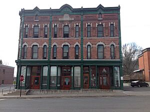
In Lyons, the Broad Street-Water Street Historic District, listed in 1973, includes a collection of buildings along these streets. These areas often show how towns grew and developed over time, especially commercial areas.
East Main Street Commercial Historic District (Palmyra)
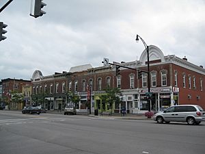
The East Main Street Commercial Historic District in Palmyra, listed in 1974, highlights a section of the town that was important for businesses and shops.
Market Street Historic District (Palmyra)
Another district in Palmyra, the Market Street Historic District, listed in 1972, also shows a historic commercial area.
Palmyra Village Historic District
The Palmyra Village Historic District, listed in 2009, covers a larger part of the village, including many streets and buildings that contribute to its historic character.
Pultneyville Historic District
The Pultneyville Historic District, listed in 1985, includes sections of Lake Road and Jay Street. This district helps preserve the unique feel of this lakeside community.
Wolcott Square Historic District
In Wolcott, the Wolcott Square Historic District, listed in 2001, is centered around the town square, which is often the heart of a historic village.
Industrial and Transportation History
Wayne County also has sites that tell us about its industrial past and how people traveled.
Dipper Dredge No. 3
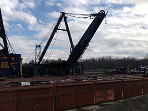
In Lyons, the Dipper Dredge No. 3, listed in 2007, is a special kind of boat used to dig and maintain canals. This dredge was important for keeping the Erie Canal working.
H. G. Hotchkiss Essential Oil Company Plant
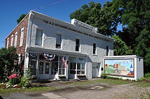
The H. G. Hotchkiss Essential Oil Company Plant in Lyons, listed in 1987, was a place where essential oils (like peppermint oil) were made. This shows an interesting part of Wayne County's manufacturing history.
Jackson-Perkins House
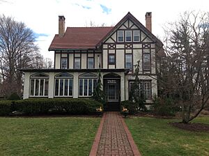
The Jackson-Perkins House in Newark, listed in 2006, is connected to the famous Jackson & Perkins rose company, which was a big business in the area.
Lotus (schooner)
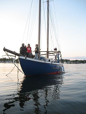
The schooner Lotus, listed in 1990, is a type of sailing ship. It's located at Sodus Point and reminds us of the importance of water travel and trade on Lake Ontario.
New York State Barge Canal
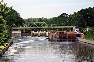
A very important historic site is the New York State Barge Canal, listed in 2014. This canal system, which runs through several towns in Wayne County, was built as a successor to the famous Erie Canal. It helped transport goods and people across New York State, connecting the Great Lakes to the Atlantic Ocean. It was a huge engineering project!
Sodus Point Lighthouse
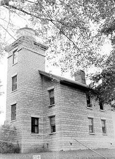
The Sodus Point Lighthouse, listed in 1976, stands on the shore of Lake Ontario. Lighthouses were crucial for guiding ships safely into harbors, especially at night or in bad weather.
St. Peter (shipwreck)
The shipwreck of the St. Peter, listed in 2004, is located near Pultneyville. Shipwrecks can be important historical sites, giving clues about maritime history and the dangers of lake travel.
These are just some of the many fascinating places in Wayne County that are recognized for their historical importance. Each one helps us understand the rich past of this part of New York!


