Palo Alto, Aguascalientes facts for kids
Quick facts for kids
Palo Alto
|
|
|---|---|
| Nickname(s):
Palo Ranch
|
|
| Country | |
| State | Aguascalientes |
| Municipality | El Llano |
| Population
(2010)
|
|
| • Total | 5,399 |
| Time zone | UTC-6 (Central Standard Time) |
| • Summer (DST) | UTC-5 (Central Daylight Time) |
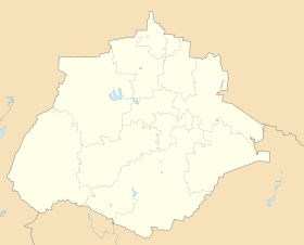
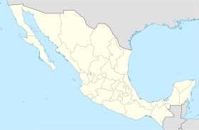
Palo Alto is a town located in the Mexican state of Aguascalientes. It's found at these coordinates: 21°55′N 101°58′W / 21.917°N 101.967°W.
This town is important because it serves as the main administrative center, or municipal seat, for the area around it. This area is called the El Llano municipality. Think of a municipality like a county or a local government district.
In 2010, the town of Palo Alto had a population of 5,399 people.
See also
 In Spanish: Palo Alto (Aguascalientes) para niños

All content from Kiddle encyclopedia articles (including the article images and facts) can be freely used under Attribution-ShareAlike license, unless stated otherwise. Cite this article:
Palo Alto, Aguascalientes Facts for Kids. Kiddle Encyclopedia.


