Rosario District, Desamparados facts for kids
Quick facts for kids
Rosario
|
|
|---|---|
|
District
|
|
| Country | |
| Province | San José |
| Canton | Desamparados |
| Area | |
| • Total | 14.77 km2 (5.70 sq mi) |
| Elevation | 1,321 m (4,334 ft) |
| Population
(2011)
|
|
| • Total | 3,088 |
| • Density | 209.07/km2 (541.50/sq mi) |
| Time zone | UTC−06:00 |
| Postal code |
10309
|
Rosario is a district in Costa Rica. It is part of the Desamparados area. This district is located in the San José province.
Contents
Where is Rosario?
Rosario covers an area of about 14.77 square kilometers. That's like a small town! It sits at an elevation of 1321 meters. This means it's quite high up, like being on a tall hill.
Who Lives in Rosario?
The word "demographics" means studying how many people live in a place. It also looks at things like their age and how they live. In 2011, a census counted the people in Rosario. A census is like a big count of everyone. At that time, 3088 people lived there.
How to Get Around Rosario?
People in Rosario use roads to travel. The district has a few important road routes. These roads help people move around the area. They also connect Rosario to other places.
Main Road Routes
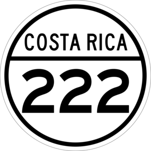
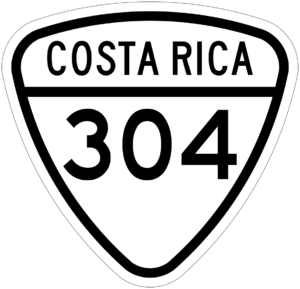
The following main roads pass through Rosario:
- National Route 222
- National Route 304
See also
 In Spanish: Rosario de Desamparados para niños
 | Victor J. Glover |
 | Yvonne Cagle |
 | Jeanette Epps |
 | Bernard A. Harris Jr. |


