San Felipe District, Alajuelita facts for kids
Quick facts for kids
San Felipe
|
|
|---|---|
|
District
|
|
| Country | |
| Province | San José |
| Canton | Alajuelita |
| Area | |
| • Total | 5.1 km2 (2.0 sq mi) |
| Elevation | 1,110 m (3,640 ft) |
| Population
(2011)
|
|
| • Total | 31,649 |
| • Density | 6,210/km2 (16,070/sq mi) |
| Time zone | UTC−06:00 |
| Postal code |
11005
|
San Felipe is a special area called a district in Costa Rica. It is part of the Alajuelita region, which is in the San José province.
About the Area
San Felipe covers an area of about 5.1 square kilometers. That's like a small town! It is located at an elevation of 1,110 meters above sea level. This means it's quite high up, like being on a tall hill.
How Many People Live Here?
| Historical population | |||
|---|---|---|---|
| Census | Pop. | %± | |
| 1927 | 394 | — | |
| 1950 | 659 | 67.3% | |
| 1963 | 1,342 | 103.6% | |
| 1973 | 2,890 | 115.4% | |
| 1984 | 4,727 | 63.6% | |
| 2000 | 27,089 | 473.1% | |
| 2011 | 31,649 | 16.8% | |
|
Instituto Nacional de Estadística y Censos |
|||
In 2011, a big count of people called a census happened. It showed that 31,649 people lived in San Felipe. The number of people living here has grown a lot over the years!
Getting Around
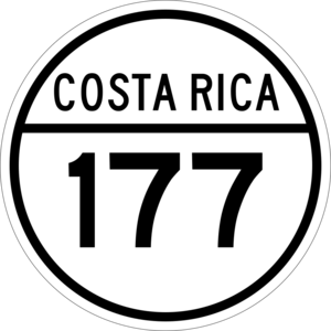
Roads in San Felipe
The district has a main road that helps people travel. It is called:
- National Route 177
See Also
 Would you like to read about San Felipe in Spanish? Check out: San Felipe de Alajuelita para niños


