San Juan District, San Ramón facts for kids
Quick facts for kids
San Juan
|
|
|---|---|
|
District
|
|
| Country | |
| Province | Alajuela |
| Canton | San Ramón |
| Area | |
| • Total | 5.09 km2 (1.97 sq mi) |
| Elevation | 1,085 m (3,560 ft) |
| Population
(2011)
|
|
| • Total | 11,695 |
| • Density | 2,297.6/km2 (5,951/sq mi) |
| Time zone | UTC−06:00 |
| Postal code |
20203
|
San Juan is a district located in the San Ramón area of the Alajuela province in Costa Rica. It is a part of the country's administrative divisions.
Contents
Geography of San Juan
San Juan covers an area of about 5.09 square kilometers (about 2 square miles). It is located at an elevation of 1,085 meters (about 3,560 feet) above sea level. This means it is quite high up, which can affect its climate and landscape.
Population of San Juan
| Historical population | |||
|---|---|---|---|
| Census | Pop. | %± | |
| 1864 | 695 | — | |
| 1883 | 1,324 | 90.5% | |
| 1892 | 1,462 | 10.4% | |
| 1927 | 858 | −41.3% | |
| 1950 | 795 | −7.3% | |
| 1963 | 1,783 | 124.3% | |
| 1973 | 3,499 | 96.2% | |
| 1984 | 5,757 | 64.5% | |
| 2000 | 9,690 | 68.3% | |
| 2011 | 11,695 | 20.7% | |
|
Instituto Nacional de Estadística y Censos |
|||
According to the 2011 census, San Juan had a population of 11,695 people. The population has grown quite a lot over the years, showing how the district has developed.
Transportation in San Juan
Road Connections
The district of San Juan is connected by several important roads. These roads help people travel within the district and to other parts of Costa Rica.
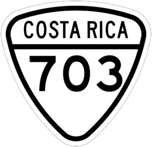
- National Route 703
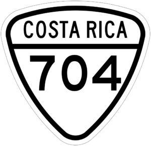
- National Route 704
See also

- In Spanish: San Juan de San Ramón para niños
 | John T. Biggers |
 | Thomas Blackshear |
 | Mark Bradford |
 | Beverly Buchanan |


