Santa María District, Dota facts for kids
Quick facts for kids
Santa María
|
|
|---|---|
|
District
|
|
| Country | |
| Province | San José |
| Canton | Dota |
| Area | |
| • Total | 92.84 km2 (35.85 sq mi) |
| Elevation | 1,548 m (5,079 ft) |
| Population
(2011)
|
|
| • Total | 4,621 |
| • Density | 49.774/km2 (128.914/sq mi) |
| Time zone | UTC−06:00 |
| Postal code |
11701
|
Santa María is a district in the Dota canton. This area is part of the San José province in Costa Rica. It is an important place within the region.
Contents
About Santa María
Where is Santa María?
Santa María covers an area of about 92.84 square kilometers. That's like a square with sides roughly 9.6 kilometers long! It is located at an elevation of 1548 meters above sea level. This means it's quite high up, which can affect its climate and scenery.
How many people live here?
The population of Santa María has grown a lot over the years. In 1883, only 51 people lived there. By 2011, the population had reached 4621 inhabitants. This shows how the district has developed and become home to more families.
| Historical population | |||
|---|---|---|---|
| Census | Pop. | %± | |
| 1883 | 51 | — | |
| 1892 | 809 | 1,486.3% | |
| 1927 | 1,561 | 93.0% | |
| 1950 | 1,645 | 5.4% | |
| 1963 | 2,424 | 47.4% | |
| 1973 | 2,683 | 10.7% | |
| 1984 | 3,324 | 23.9% | |
| 2000 | 4,274 | 28.6% | |
| 2011 | 4,621 | 8.1% | |
|
Instituto Nacional de Estadística y Censos |
|||
According to the Costa Rica 2011 Census, 4621 people lived in Santa María.
Getting around Santa María
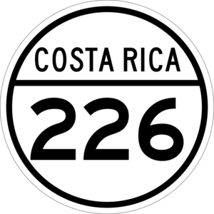
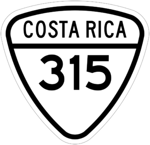
Roads are important for connecting Santa María to other places. The district has access to two main road routes:
These routes help people travel in and out of the district.
What's the weather like?
Santa María has a mild climate because of its elevation. The temperatures are usually comfortable, not too hot or too cold. It gets a lot of rain, especially from May to November. This rainy season helps the plants and crops grow. The driest months are usually January, February, and March.
| Climate data for Santa María | |||||||||||||
|---|---|---|---|---|---|---|---|---|---|---|---|---|---|
| Month | Jan | Feb | Mar | Apr | May | Jun | Jul | Aug | Sep | Oct | Nov | Dec | Year |
| Mean daily maximum °C (°F) | 22.3 (72.1) |
23.2 (73.8) |
24.0 (75.2) |
24.3 (75.7) |
24.0 (75.2) |
23.1 (73.6) |
23.1 (73.6) |
23.3 (73.9) |
23.2 (73.8) |
22.6 (72.7) |
22.0 (71.6) |
22.0 (71.6) |
23.1 (73.6) |
| Daily mean °C (°F) | 17.1 (62.8) |
17.7 (63.9) |
18.2 (64.8) |
18.8 (65.8) |
18.8 (65.8) |
18.2 (64.8) |
18.3 (64.9) |
18.2 (64.8) |
18.0 (64.4) |
17.7 (63.9) |
17.3 (63.1) |
17.0 (62.6) |
17.9 (64.3) |
| Mean daily minimum °C (°F) | 12.0 (53.6) |
12.2 (54.0) |
12.5 (54.5) |
13.4 (56.1) |
13.6 (56.5) |
13.4 (56.1) |
13.6 (56.5) |
13.2 (55.8) |
12.9 (55.2) |
12.9 (55.2) |
12.7 (54.9) |
12.1 (53.8) |
12.9 (55.2) |
| Average precipitation mm (inches) | 48 (1.9) |
37 (1.5) |
49 (1.9) |
113 (4.4) |
310 (12.2) |
367 (14.4) |
268 (10.6) |
319 (12.6) |
423 (16.7) |
421 (16.6) |
202 (8.0) |
90 (3.5) |
2,647 (104.3) |
| Source: Climate-Data.org | |||||||||||||
See also
 In Spanish: Santa María de Dota para niños
 | George Robert Carruthers |
 | Patricia Bath |
 | Jan Ernst Matzeliger |
 | Alexander Miles |


