St. Francois State Park facts for kids
Quick facts for kids St. Francois State Park |
|
|---|---|
| Location | St. Francois, Missouri, United States |
| Area | 2,734.97 acres (11.0680 km2) |
| Elevation | 771 ft (235 m) |
| Established | 1964 |
| Governing body | Missouri Department of Natural Resources |
| Website | St. Francois State Park |
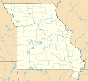
St. Francois State Park is a fantastic outdoor spot in Missouri! It's a public park where everyone can go to enjoy nature. This big park covers about 2,735 acres of land. That's a huge area, perfect for exploring! You can find it about 5 miles north of a town called Bonne Terre, in St. Francois County.
Discover St. Francois State Park!
St. Francois State Park was created in 1964. It's managed by the Missouri Department of Natural Resources. This group helps protect the park's natural beauty. They make sure it stays a great place for people and wildlife. The park offers many ways to have fun outdoors.
What Can You Do at the Park?
The park is a great place for many activities. You can go camping and spend a night under the stars. Imagine telling stories around a campfire! There are also trails for hiking. You can walk through the woods and see different plants and animals. If you enjoy horses, some trails are even open for horseback riding.
- Camping: Set up your tent and enjoy the night sky.
- Hiking: Explore the park's trails on foot.
- Horseback Riding: Ride through scenic paths.
- Fishing: Try to catch fish in the Big River.
The Big River flows through the park. It's a popular spot for fishing. You might catch some interesting fish there!
Exploring Coonville Creek Natural Area
Inside St. Francois State Park, there's a special place called the Coonville Creek Natural Area. This area is about 49 acres big. It includes Coonville Creek itself and the narrow valley around it. Natural areas are important because they protect unique parts of nature. This spot helps keep the creek and its surroundings safe. It's a great place to see how nature works without much human interference.
 | Stephanie Wilson |
 | Charles Bolden |
 | Ronald McNair |
 | Frederick D. Gregory |


