Xaloztoc facts for kids
Quick facts for kids
Xaloztoc
|
||
|---|---|---|
 |
||
|
||
 |
||
| Country | ||
| State | ||
| Established | 25 November 1873 | |
| Area | ||
| • Total | 49 km2 (19 sq mi) | |
| Elevation | 2,500 m (8,200 ft) | |
| Population
(2010)
|
||
| • Total | 21,769 | |
| • Density | 444.27/km2 (1,150.7/sq mi) | |
| Time zone | UTC-6 (Central) | |
| Area code(s) | 241 | |
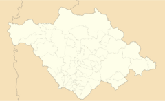
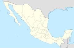
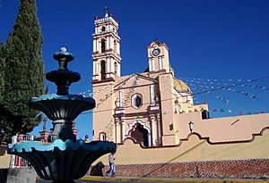
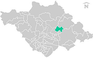
Xaloztoc is a town located in the Mexican state of Tlaxcala. It is also the name of the area around the town, called a municipality. Think of a municipality like a county or a local government area.
Xaloztoc is one of 60 municipalities in the state of Tlaxcala. The Mexican government uses a special number, 29039, to identify this municipality. This number comes from the INEGI, which is like Mexico's national statistics agency.
Contents
Exploring Xaloztoc's Location
Xaloztoc is home to many people. In 2010, about 21,769 residents lived there. The entire municipality covers an area of about 49 square kilometers (19 square miles).
How High is Xaloztoc?
The town and municipality are quite high up! The average elevation is about 2,500 meters (8,200 feet) above sea level. That's higher than many mountains in other parts of the world.
Weather in Xaloztoc
The weather in Xaloztoc is interesting. On average, the area gets about 730.3 millimeters (28.8 inches) of rain each year. This amount of rain helps the plants and crops grow.
Average Temperatures
The average yearly temperature in Xaloztoc is around 14.8 degrees Celsius (about 58.6 degrees Fahrenheit). This means the weather is generally mild, not too hot and not too cold, throughout the year.


