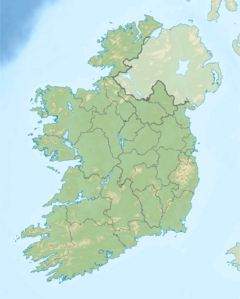
Aille River (County Mayo) facts for kids
Quick facts for kids Aille River |
|
|---|---|
| Native name | Abhainn na hAille |
| Physical characteristics | |
| Main source | Glenmask, Partry Mountains, County Mayo |
| River mouth | Galway Bay via Lough Mask, Lough Corrib and River Corrib 53°46′36″N 9°22′22″W / 53.776657°N 9.372744°W |
| Length | 29.8 kilometres (18.5 mi) |
The Aille River (which is Abhainn na hAille in Irish) is a cool river in County Mayo, Ireland. Its name means "cliff river" in Irish, which gives a hint about the area it flows through! This river is special because part of its journey happens completely underground.
The Aille River starts its adventure in the Partry Mountains. It flows for about 29.8 kilometers (or 18.5 miles). That's a pretty long trip for a river!
Journey of the Aille River
The Aille River begins high up in the Partry Mountains. This is about 16 kilometers (10 miles) south of a town called Westport. The river collects water from the northwestern part of these mountains.
Underground Adventure
After flowing for a while, the Aille River does something amazing. It disappears underground at a place called the Aille Caves! It becomes a subterranean river, meaning it flows completely hidden from view.
This underground journey lasts for about 4 kilometers (2.5 miles). Imagine a river flowing through secret tunnels beneath the earth!
Reappearing and Joining Lakes
Eventually, the Aille River pops back up to the surface. This happens at a spot known as Pollatoomary. From there, it continues its path flowing south.
The river then reaches Cloon Lough, which is a lake. The water from Cloon Lough then flows into the much larger Lough Mask. The Aille River's water eventually makes its way through Lough Mask.
From Lough Mask, the water travels to Lough Corrib. Finally, it flows into the River Corrib. This river then carries the water all the way to Galway Bay on the coast. So, the Aille River's water travels a long way from the mountains to the sea!
 | May Edward Chinn |
 | Rebecca Cole |
 | Alexa Canady |
 | Dorothy Lavinia Brown |


