Aldridge Peak facts for kids
Quick facts for kids Aldridge Peak |
|
|---|---|
| Highest point | |
| Elevation | 2,290 m (7,510 ft) |
| Geography | |
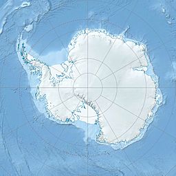
| Location | Borchgrevink Coast, Victoria Land, Antarctica |
| Parent range | Victory Mountains, Hearfield Glacier, Trafalgar Glacier |
Aldridge Peak is a tall mountain peak in Antarctica. It stands 2,290 meters (about 7,513 feet) high. This peak is part of the Victory Mountains. It is located in a very cold, icy region called Victoria Land.
About Aldridge Peak
Where is Aldridge Peak?
Aldridge Peak is found on a ridge in Antarctica. This ridge is located between two large ice rivers, the Hearfield Glacier and the Trafalgar Glacier. These are all part of the Victory Mountains. The peak is also on the Borchgrevink Coast. This coast is named after Carsten Borchgrevink, an explorer from Norway.
How Aldridge Peak Was Discovered and Named
Scientists and explorers have mapped Aldridge Peak. The United States Geological Survey (USGS) helped with this. They used surveys and photos taken from airplanes by the United States Navy. This mapping work happened between 1960 and 1962.
The peak was named by the Advisory Committee on Antarctic Names. They chose the name to honor James A. Aldridge. He was an aviation machinist's mate. This means he helped maintain aircraft for the U.S. Navy. James Aldridge worked with Squadron VX-6 at McMurdo Station in 1967.


