Alfred-South La Paloma, Texas facts for kids
Quick facts for kids
Alfred-South La Paloma, Texas
|
|
|---|---|

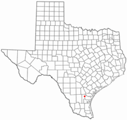
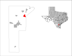
Location of Alfred-South La Paloma, Texas
|
|
 |
|
| Country | United States |
| State | Texas |
| County | Jim Wells |
| Area | |
| • Total | 4.5 sq mi (11.6 km2) |
| • Land | 4.5 sq mi (11.6 km2) |
| • Water | 0.0 sq mi (0.0 km2) |
| Population
(2000)
|
|
| • Total | 451 |
| • Density | 101.1/sq mi (39.0/km2) |
| Time zone | UTC-6 (Central (CST)) |
| • Summer (DST) | UTC-5 (CDT) |
| FIPS code | 48-01822 |
Alfred-South La Paloma was once a special kind of community in Jim Wells County, Texas, USA. It was called a "census-designated place" (CDP). This means it was an area identified for counting people by the government, but it wasn't an official city or town.
In the year 2000, about 451 people lived there. Later, for the 2010 census, this CDP was divided into two separate places: Alfred and South La Paloma.
Where Was Alfred-South La Paloma Located?
According to the United States Census Bureau, Alfred-South La Paloma covered a total area of about 4.5 square miles (11.6 square kilometers). Almost all of this area was land. There was very little water within its boundaries.
Who Lived in Alfred-South La Paloma?
In 2000, there were 451 people living in Alfred-South La Paloma. These people lived in 144 different homes. Most of these homes (112) were families.
Many different groups of people lived in the CDP. About 57% of the people identified as Hispanic or Latino.
About 40% of the homes had children under 18 living there. Most homes (about 60%) were married couples living together. Some homes (about 12%) had a female head of the house without a husband present.
The people living in Alfred-South La Paloma were of different ages. About 35% were under 18 years old. About 32% were between 25 and 44 years old. The average age of people living there was 31 years.
Education in the Area
Students living in Alfred-South La Paloma went to schools run by the Orange Grove Independent School District.
 | Laphonza Butler |
 | Daisy Bates |
 | Elizabeth Piper Ensley |

