Belding Island facts for kids
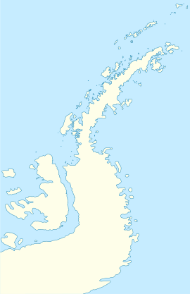
Belding Island is a cool island about 3 kilometers (2 miles) long. It's located west of the southern part of Watkins Island, which is part of the Biscoe Islands in Antarctica.
Scientists mapped Belding Island using photos taken from airplanes during the Falkland Islands and Dependencies Aerial Survey Expedition in 1956–1957. The UK Antarctic Place-Names Committee named the island after Harwood S. Belding. He was an American scientist who did important research on clothing for cold weather.
Capitán Estivariz Refuge
Quick facts for kids
Capitán Estivariz Refuge
|
|
|---|---|
|
Refuge
|
|
| Country | |
| Location in Antarctic Peninsula | Belding Island Antarctic Peninsula Antarctica |
| Administered by | Argentine Navy |
| Established | 1956 |
| Type | Year-round |
| Status | Operational |
Capitán Estivariz Refuge is an Argentine shelter in Antarctica. It's located on a small island near Belding Island, within the Biscoe Islands. This refuge is like a small base or hut that provides shelter for people working in Antarctica.
The refuge first opened on February 29, 1956. The Argentine Navy is in charge of running it. The refuge was named to honor Lieutenant commander Eduardo Anibal Estivariz. He was an important figure who passed away in a plane accident.
The icebreaker ship ARA General San Martin helped build the refuge. This happened during an Antarctic mission in 1955–1956. After the refuge was built, planes flew over the western coast of the Antarctic Peninsula. They took pictures to map the area south of 65 degrees latitude.


