Cañita, Panama facts for kids
Quick facts for kids
Cañita
|
|
|---|---|
|
Corregimiento
|
|
| Country | |
| Province | Panamá |
| District | Chepo |
| Area | |
| • Land | 359 km2 (139 sq mi) |
| Population
(2010)
|
|
| • Total | 2,514 |
| • Density | 7/km2 (20/sq mi) |
| Population density calculated based on land area. | |
| Time zone | UTC−5 (EST) |
Cañita is a special kind of area called a corregimiento in Chepo District, which is part of Panamá Province in the country of Panama. Think of a corregimiento like a local administrative division, similar to a small town or a part of a larger city.
Contents
What is Cañita Like?
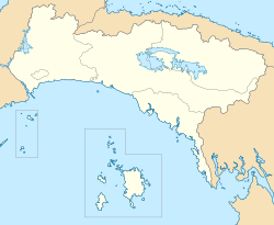
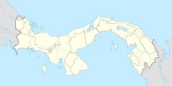
Cañita is located in the eastern part of Panama. It covers an area of about 359 square kilometers. This makes it a fairly large area, but it doesn't have a very high population.
How Many People Live in Cañita?
According to records from 2010, about 2,514 people lived in Cañita. The population has grown over the years. In 1990, there were 1,721 people, and by 2000, it had grown to 2,140 people. This shows that more families have chosen to live in Cañita over time.
Population Density in Cañita
The population density of Cañita is about 7 people per square kilometer. This means that, on average, there aren't many people living close together. It suggests that Cañita might have a lot of open spaces, perhaps farms or natural areas, rather than crowded city streets.
Where is Cañita Located?
Cañita is found at coordinates 9.2097 degrees North latitude and 78.8811 degrees West longitude. These numbers help pinpoint its exact spot on a map of the world. It is in the Eastern Time Zone, which is 5 hours behind Coordinated Universal Time (UTC-5).
See also

- In Spanish: Cañita (Panamá) para niños
 | Bessie Coleman |
 | Spann Watson |
 | Jill E. Brown |
 | Sherman W. White |


