Canalete District facts for kids
Quick facts for kids
Canalete
|
|
|---|---|
|
District
|
|
| Country | |
| Province | Alajuela |
| Canton | Upala |
| Creation | 3 August 2012 |
| Area | |
| • Total | 106.45 km2 (41.10 sq mi) |
| Elevation | 87 m (285 ft) |
| Time zone | UTC−06:00 |
| Postal code |
21308
|
Canalete is a special area called a district. It's located in the Upala region, which is part of the Alajuela province in Costa Rica.
Contents
History of Canalete
Canalete is a fairly new district. It was officially created on August 3, 2012. This happened through a special government decision.
Geography of Canalete
Canalete covers an area of about 106.45 square kilometers. It is located about 87 meters above sea level. This means it's not too high up, but also not right on the coast.
Population Information
The last big count of people in Costa Rica was in 2011. Canalete had not been created yet at that time. Because of this, we don't have official population numbers for Canalete from that census. The next census will be in 2021, and then we will have more information!
Getting Around Canalete
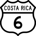
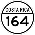
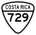
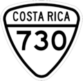
Main Roads in Canalete
The district has several important roads that help people travel. These roads connect Canalete to other places.
Images for kids
See also
 In Spanish: Canalete de Upala para niños


