Chires facts for kids
Quick facts for kids
Chires
|
|
|---|---|
|
District
|
|
| Country | |
| Province | San José |
| Canton | Puriscal |
| Creation | 3 November 1983 |
| Area | |
| • Total | 230.47 km2 (88.98 sq mi) |
| Elevation | 430 m (1,410 ft) |
| Population
(2011)
|
|
| • Total | 3,031 |
| • Density | 13.1514/km2 (34.062/sq mi) |
| Time zone | UTC−06:00 |
| Postal code |
10409
|
Chires is a small area, or district, located in the Puriscal region of Costa Rica. It is part of the San José province. Chires is known for its natural beauty and quiet way of life.
Contents
History of Chires
Chires became an official district on 3 November 1983. Before this, it was part of another district called Mercedes Sur. This change helped Chires manage its own local affairs.
Geography of Chires
Chires covers an area of about 230.47 square kilometers. To give you an idea, that's roughly the size of 23,000 football fields! The district is located at an elevation of 430 meters above sea level. This means it's about as high as a 140-story building.
Population of Chires
The word "demographics" means studying the people who live in a place. For the 2011 census, Chires had a population of 3,031 people. This number helps us understand how many people live in the district.
| Historical population | |||
|---|---|---|---|
| Census | Pop. | %± | |
| 1984 | 3,246 | — | |
| 2000 | 2,806 | −13.6% | |
| 2011 | 3,031 | 8.0% | |
|
Instituto Nacional de Estadística y Censos |
|||
Getting Around Chires
Road Routes in Chires
The district of Chires has several important roads that help people travel. These roads connect Chires to other parts of Costa Rica.
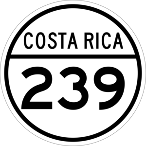
- National Route 239
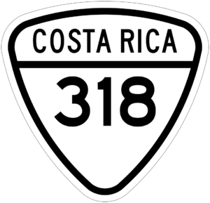
- National Route 318
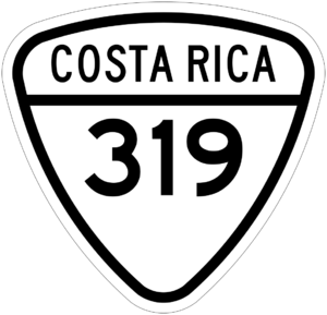
- National Route 319
These routes are important for daily life, allowing people to go to school, work, and visit other towns.
See also
 In Spanish: Chires para niños


