Concepción de Ataco facts for kids
Quick facts for kids
Concepción de Ataco
|
|
|---|---|
|
Municipality
|
|
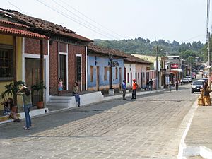
1 Avenida. Concepcion de Ataco
|
|
| Country | |
| Department | Ahuachapán Department |
| Government | |
| • Type | Democratic |
| Area | |
| • Municipality | 23.57 sq mi (61.04 km2) |
| Elevation | 4,068 ft (1,240 m) |
| Population
(2006)
|
|
| • Municipality | 18,101 |
| • Metro | 18,101 |
| Time zone | UTC-6 (Central America) |
| Area code(s) | (503) |
| HDI 2010 | 0.695 – high |
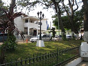
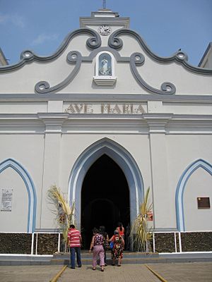
Concepción de Ataco is a charming city and municipality in El Salvador. It's located in the Ahuachapán Department. The city covers about 61 square kilometers. In 2006, around 18,101 people lived there.
The municipality is divided into 11 smaller areas called cantons. These include El Arco, El Limo, and San Jose. Ataco has a very old history. It was founded by the Yaqui or Pipil people. They built it in the central Apaneca Mountain Range.
In the ancient Nahuat language, Ataco means "high place of springs." This name fits well because of the many water sources in the area.
Concepción de Ataco also has a "sister city" far away. It is Elk Grove, California in the United States.
Contents
History of Ataco
In 1770, Ataco was part of the Ahuachapán area. At that time, about 784 native people lived there. They spoke both the Nahuat language of the Pipil people and Spanish.
During the time when Spain ruled, Ataco was part of the Izalco province. Later, in 1824, it became part of the Sonsonate department. In 1855, the town was moved to the Santa Ana department. By 1858, Ataco had about 972 residents.
Local leaders wanted Ataco to be part of the Sonsonate department again in 1866. They felt it would be better for the town. However, this request was not approved.
Finally, in 1869, Ataco officially joined the Ahuachapán department. This is where it remains today. By 1890, the city's population had grown to 2,860 people.
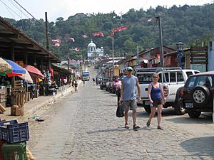
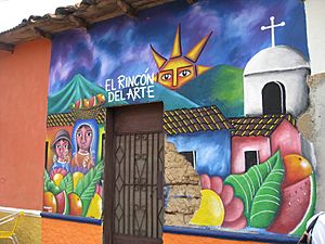
Today, you can find many craft shops in Concepción de Ataco. They sell sculptures, woven items, and local coffee. The native people of Ataco still keep their old customs alive. They pass down traditions and some of the Nahuat language through stories.
Visiting Ataco: Tourism and Crafts
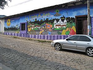
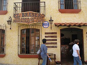
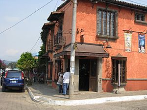
Ataco started becoming a popular place for tourists around 2004. Before that, nearby Apaneca was more famous. But people soon saw that Ataco had a lot to offer. It is a very lively and colorful village.
Many people began to invest in businesses in Ataco. Even though it didn't win a big tourism award, it's a favorite for many visitors. Both local people and international tourists love to explore Ataco.
Handmade Fabrics: Lever Looms
You can see a special kind of weaving in Ataco. Lever looms were brought back to the area. These machines help create beautiful fabrics. You can watch artists making these textiles in local craft shops. It's a great way to see traditional art.
Ataco's Climate
Ataco has a subtropical highland climate. This means it has mild temperatures all year. Because it's high up in the mountains, Ataco has one of the nicest climates in El Salvador.
Temperatures usually stay below 23 °C (73 °F). Nights are always cool, and sometimes it can get quite chilly. The coldest temperature ever recorded was 4 °C (40 °F) in November 2010.
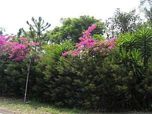
The city gets a lot of rain. This, combined with the cool temperatures, is perfect for plants. You'll see many flowers, pine trees, and "veraneras" growing here. The sidewalks are built high above the street. This helps prevent flooding when heavy rain washes water down the mountain.
July is the wettest month, with about 316 millimeters (13 inches) of rain. October and November are the coolest months. Temperatures can drop to 10 °C (50 °F) then, often due to strong winds.
| Climate data for Concepcion de Ataco | |||||||||||||
|---|---|---|---|---|---|---|---|---|---|---|---|---|---|
| Month | Jan | Feb | Mar | Apr | May | Jun | Jul | Aug | Sep | Oct | Nov | Dec | Year |
| Mean daily maximum °C (°F) | 19.3 (66.7) |
20.6 (69.1) |
23.3 (73.9) |
23.2 (73.8) |
22.7 (72.9) |
21.6 (70.9) |
21.6 (70.9) |
21.6 (70.9) |
20.9 (69.6) |
20.0 (68.0) |
19.2 (66.6) |
18.9 (66.0) |
20.5 (68.9) |
| Daily mean °C (°F) | 14.7 (58.5) |
15.3 (59.5) |
17.0 (62.6) |
17.7 (63.9) |
17.9 (64.2) |
17.2 (63.0) |
17.1 (62.8) |
17.1 (62.8) |
16.9 (62.4) |
16.2 (61.2) |
15.2 (59.4) |
14.7 (58.5) |
16.0 (60.8) |
| Mean daily minimum °C (°F) | 10.8 (51.4) |
11.6 (52.9) |
12.8 (55.0) |
13.9 (57.0) |
14.6 (58.3) |
14.3 (57.7) |
14.0 (57.2) |
14.0 (57.2) |
14.2 (57.6) |
13.6 (56.5) |
11.7 (53.1) |
10.9 (51.6) |
12.5 (54.5) |
| Record low °C (°F) | 6.0 (42.8) |
5.6 (42.1) |
8.0 (46.4) |
10.0 (50.0) |
10.0 (50.0) |
10.0 (50.0) |
10.0 (50.0) |
10.0 (50.0) |
9.4 (48.9) |
5.3 (41.5) |
4.9 (40.8) |
7.1 (44.8) |
7.3 (45.1) |
| Average precipitation mm (inches) | 5.0 (0.20) |
2.0 (0.08) |
9.0 (0.35) |
36.0 (1.42) |
152.0 (5.98) |
292.0 (11.50) |
316.0 (12.44) |
311.0 (12.24) |
348.0 (13.70) |
217.0 (8.54) |
36.0 (1.42) |
10.0 (0.39) |
1,734 (68.3) |
| Source: http://www.yr.no/; | |||||||||||||
Getting to Ataco: Transportation
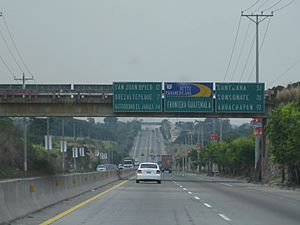
You can reach Ataco by paved roads. The CA-8 highway connects it to Ahuachapán and Sonsonate. Regular buses also travel to the village from these cities.
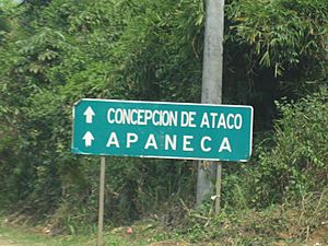
The CA-8 is a smaller, two-lane highway. It also links Ataco with Apaneca and San Salvador. If you are coming from Santa Ana, you can take the RN-13 highway. From Acajutla, you can use the CA-2 and then the RN-15. These roads connect to the CA-8 near Apaneca.
If you are traveling from San Salvador, you can take the CA-1. This is also known as the Pan-American Highway. Most roads in the area are asphalt. Busy parts of the roads are often made of concrete. Many mountain roads have two lanes. But in flatter areas, highways often have four lanes.
Safety in Ataco
Ataco and the areas around it are known for being very safe. There is very little crime or violence here. The Politur (Tourism Police) are often present. They help keep everyone safe. They also help tourists who might be lost or need assistance.
See also
 In Spanish: Concepción de Ataco para niños
 | James Van Der Zee |
 | Alma Thomas |
 | Ellis Wilson |
 | Margaret Taylor-Burroughs |


