Corncake Inlet, North Carolina facts for kids
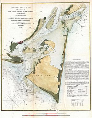
Corncrake Inlet was a natural waterway, like a small river or channel, that used to be in the Cape Fear region of North Carolina. It was located in Brunswick County, just south of Federal Point. This channel was an important part of the coast for many years, but it is now closed.
Contents
Corncrake Inlet: A Lost Waterway
Corncrake Inlet was a historical channel in North Carolina. It was first noted as a channel around 1938. The inlet was located in Brunswick County, within the 28461 ZIP Code area. Its exact height above sea level is not known.
How Hurricanes Changed the Inlet
Powerful storms had a big impact on Corncrake Inlet and the nearby coast. On September 7, 1995, Hurricane Luis caused strong rip currents near the inlet. Rip currents are powerful flows of water moving away from the shore. This storm also brought very high waves and tides.
These high waves and tides caused a lot of beach erosion. This means parts of the beach were washed away. There was also significant coastal flooding, where ocean water covered land. In Brunswick County, eight homes were washed away by the waves. About 40 feet (12 meters) of the beach was lost. The total damage in North Carolina from Hurricane Luis was about $1.9 million.
Since then, the entire east coast has seen a steady rise in sea level. This rise became much faster between 2011 and 2015.
Why Did the Inlet Close?
In 1998, Corncrake Inlet was officially closed. This happened because of the damage caused by another strong storm, Hurricane Bonnie. When a channel is "shoaled and closed," it means sand and sediment have filled it in. This makes it too shallow for boats or even for water to flow through easily. This process effectively shut down the inlet.
Fishing at Corncrake Inlet
Before it was closed, Corncrake Inlet was known as a good spot for shad fishing. Shad are a type of fish that are popular for sport and food. This shows that the inlet was once a lively place for local activities.


