Corralillo District facts for kids
Quick facts for kids
Corralillo
|
|
|---|---|
|
District
|
|
| Country | |
| Province | Cartago |
| Canton | Cartago |
| Area | |
| • Total | 32.57 km2 (12.58 sq mi) |
| Elevation | 1,665 m (5,463 ft) |
| Population
(2011)
|
|
| • Total | 10,647 |
| • Density | 326.90/km2 (846.66/sq mi) |
| Time zone | UTC−06:00 |
| Postal code |
30107
|
Corralillo is a small area called a district in the Cartago region of Costa Rica. It's part of the Cartago Province, which is a larger area in the country.
Contents
Where is Corralillo?
Corralillo covers an area of about 32.57 square kilometers. To give you an idea, that's roughly the size of 8,000 football fields! It sits at an elevation of 1,665 meters above sea level. This means it's quite high up, which can affect the weather and the types of plants and animals that live there.
How Many People Live Here?
Corralillo has seen its population grow quite a bit over the years.
| Historical population | |||
|---|---|---|---|
| Census | Pop. | %± | |
| 1883 | 458 | — | |
| 1927 | 2,337 | — | |
| 1950 | 2,686 | 14.9% | |
| 1963 | 4,627 | 72.3% | |
| 1973 | 5,928 | 28.1% | |
| 1984 | 6,538 | 10.3% | |
| 2000 | 9,366 | 43.3% | |
| 2011 | 10,647 | 13.7% | |
|
Instituto Nacional de Estadística y Censos |
|||
According to the 2011 census, there were 10,647 people living in Corralillo. This information helps us understand how communities change and grow over time.
Getting Around Corralillo
Roads are very important for people to travel and transport goods. Corralillo is connected by several main road routes. These roads help people get to other towns and cities in Costa Rica.
Main Road Routes
The district is covered by the following important road routes:
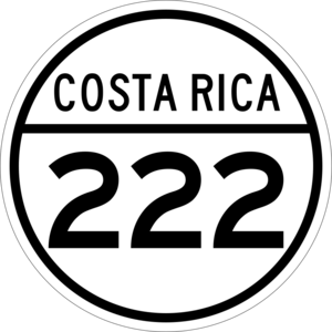
- National Route 222
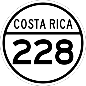
- National Route 228
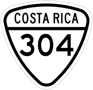
- National Route 304
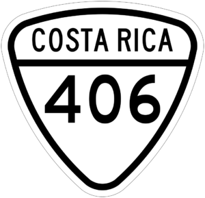
- National Route 406
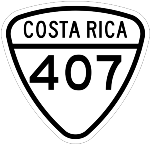
- National Route 407
See also
- In Spanish: Corralillo de Cartago para niños
 | Aaron Henry |
 | T. R. M. Howard |
 | Jesse Jackson |


