Cutris facts for kids
Quick facts for kids
Cutris
|
|
|---|---|
|
District
|
|
| Country | |
| Province | Alajuela |
| Canton | San Carlos |
| Creation | 26 November 1971 |
| Area | |
| • Total | 848.01 km2 (327.42 sq mi) |
| Elevation | 65 m (213 ft) |
| Population
(2011)
|
|
| • Total | 10,334 |
| • Density | 12.1862/km2 (31.5621/sq mi) |
| Time zone | UTC−06:00 |
| Postal code |
21011
|
Cutris is a district located in the San Carlos area, within the Alajuela province of Costa Rica. It's like a special part of a bigger region in this Central American country.
Contents
The Story of Cutris
Cutris became an official district on November 26, 1971. This happened through a special government decision.
Exploring Cutris's Geography
Cutris is a very large district. It covers an area of 848.01 square kilometers. This makes it the biggest district in its canton. The land here is mostly flat and sits about 65 meters above sea level.
Where is Cutris Located?
You can find Cutris in the northern part of Costa Rica. It shares borders with six other districts. To the west, it borders Pocosol. To the east, it borders Aguas Zarcas and Pital. It also borders Palmera, Florencia, and La Fortuna. To the north, Cutris even borders the country of Nicaragua!
Getting to Cutris
The main town in Cutris is called Boca Arenal. It is about 33.4 kilometers north of Ciudad Quesada. This drive takes around 47 minutes. If you are traveling from San Jose, the capital city, it's about 133 kilometers northwest. That trip takes about 2 hours and 34 minutes.
People of Cutris
| Historical population | |||
|---|---|---|---|
| Census | Pop. | %± | |
| 1973 | 7,382 | — | |
| 1984 | 6,573 | −11.0% | |
| 2000 | 7,892 | 20.1% | |
| 2011 | 10,334 | 30.9% | |
|
Instituto Nacional de Estadística y Censos |
|||
In 2011, a census counted the people living in Cutris. The population was 10,334 inhabitants. This made Cutris the seventh most populated district in its canton at that time.
How People Get Around
Roads in Cutris
Several important roads help people travel through Cutris. These roads connect the district to other places.
- National Route 4
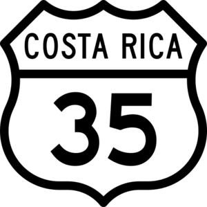
- National Route 35
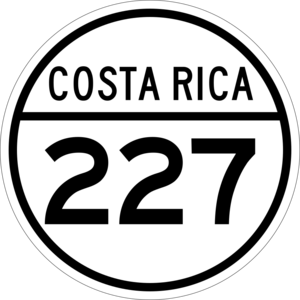
- National Route 227
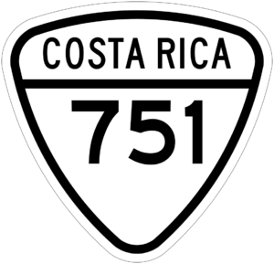
- National Route 751
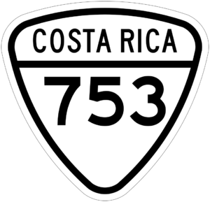
- National Route 753
Towns and Communities
Cutris is home to 24 different communities. These are places where people live and work.
- Boca de Arenal (This is the main town of the district)
- Kooper
- Corazón de Jesús
- Terrón Colorado
- San Josecito
- Santa Teresa
- San Jorge
- Bella Vista
- San Pedro
- San Marcos
- San Joaquín
- Coopevega
- Las Cascadas
- Rico Tino
- Moravia
- Crucitas
- Chamorro
- Tiricias
- Boca Tapada
- Laurel Galán
- El Jardín
- Cocobolo
- San Francisco
- Betania
What People Do for Work
The main jobs in Cutris involve farming and raising animals. People here focus on growing citrus fruits like oranges and pineapples. They also grow sugarcane. Raising livestock, like cattle, is another big part of the economy. These activities provide many jobs for the people living in Cutris.
In Boca de Arenal, the main town, you can find many useful places. There are restaurants to eat, grocery stores to buy food, and butchers for meat. There is even a mill, which processes crops.
See also
 In Spanish: Cutris para niños


