Escondido River (Nicaragua) facts for kids
Quick facts for kids Escondido River |
|
|---|---|
|
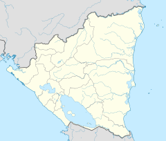
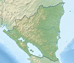
Location of mouth
|
|
| Country | Nicarauga |
| Physical characteristics | |
| River mouth | Bluefields, Caribbean Sea 0 m (0 ft) 12°05′12″N 83°44′57″W / 12.0868°N 83.7492°W |
| Length | 89 km (55 mi) |
The Escondido River (which means "Hidden River" in Spanish) is an important waterway in southeastern Nicaragua. It flows for about 89 kilometers (55 miles) before reaching the Caribbean Sea. The river's mouth is near the city of Bluefields, located in the South Caribbean Coast Autonomous Region.
This river plays a big role in connecting different parts of Nicaragua. It acts as a major transportation route, making it easier to travel and move goods between the Pacific and Caribbean coasts of the country.
What Are the Escondido River's Branches?
Rivers often have smaller streams or rivers that flow into them. These are called tributaries. The Escondido River has several important tributaries that feed into it, making it larger and stronger.
Here are some of its main branches:
- Kama River
- Mahogany River
- Rama River
- Plata River (a branch of the Rama River)
- Mico River
- Siquia River
See also
 In Spanish: Río Escondido (Nicaragua) para niños


