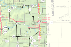
Hiattville, Kansas facts for kids
Quick facts for kids
Hiattville, Kansas
|
|
|---|---|

|
|
| Country | United States |
| State | Kansas |
| County | Bourbon |
| Elevation | 997 ft (304 m) |
| Time zone | UTC-6 (CST) |
| • Summer (DST) | UTC-5 (CDT) |
| Area code | 620 |
| FIPS code | 20-31650 |
| GNIS ID | 474999 |
Hiattville is a small, quiet place in Bourbon County, Kansas, United States. It's an unincorporated community, which means it's a group of homes and businesses that isn't officially a town or city with its own local government. Instead, it's part of the larger county.
Hiattville's History: A Look Back
Hiattville has an interesting past! It got its first post office way back in 1870. When it first started, the community had a different name: Pawnee. But later, it was renamed Hiattville. This new name honored a man named James M. Hiatt. He was the person who owned the land where the community was built.
For many years, a railroad line passed right through Hiattville. This was the Sedalia branch of the Missouri-Kansas-Texas Railroad. Trains used this line from the 1870s, helping people and goods move around. However, the railroad line was eventually closed down in 1988.
Learning in Hiattville
Students in Hiattville attend schools that are part of the Uniontown USD 235 public school district. This district provides education for children living in and around the community.
 | Jewel Prestage |
 | Ella Baker |
 | Fannie Lou Hamer |

