
Image: Atlas Van der Hagen-KW1049B13 057-BARBARIA
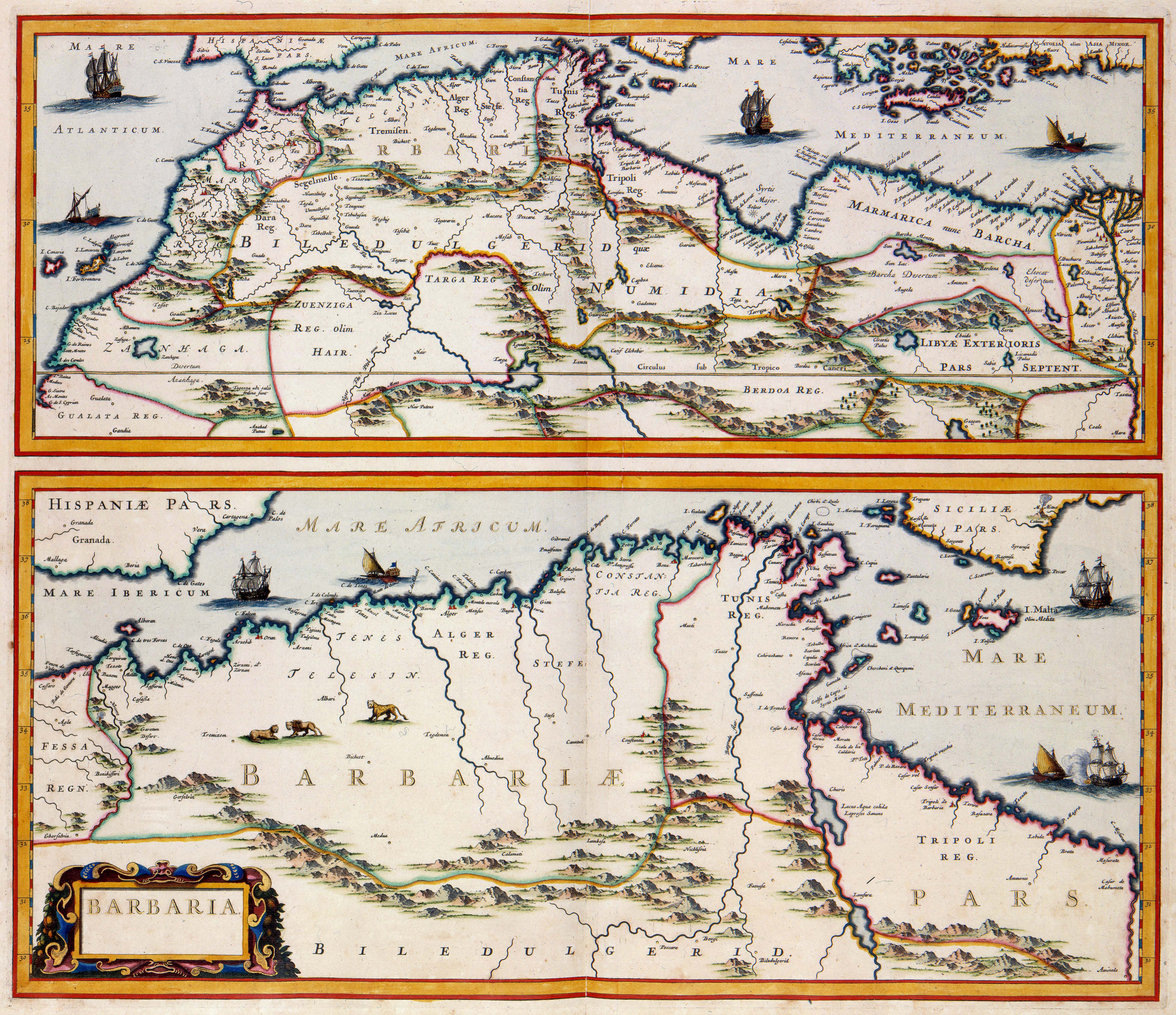
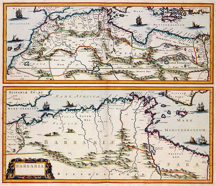
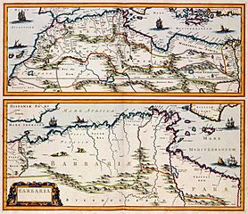
Description: This map by Jan Janssonius (1588-1664) shows the coast of North Africa, an area known in the 17th century as Barbaria. The upper part of the map represents a general map of North-Africa from the delta of the River Nile to the Canary Islands. The bottom part shows large areas of Algeria, Tunesia and Libya.
Title: BARBARIA
Credit: This media file is from the collections of the Koninklijke Bibliotheek, part of which is available on Wikimedia Commons.
Author: Jan Janssonius
Permission: This is a faithful photographic reproduction of a two-dimensional, public domain work of art. The work of art itself is in the public domain for the following reason: Public domainPublic domainfalsefalse This work is in the public domain in its country of origin and other countries and areas where the copyright term is the author's life plus 100 years or fewer. You must also include a United States public domain tag to indicate why this work is in the public domain in the United States. This file has been identified as being free of known restrictions under copyright law, including all related and neighboring rights. The official position taken by the Wikimedia Foundation is that "faithful reproductions of two-dimensional public domain works of art are public domain". This photographic reproduction is therefore also considered to be in the public domain in the United States. In other jurisdictions, re-use of this content may be restricted; see Reuse of PD-Art photographs for details.
Usage Terms: Public domain
License: Public domain
Attribution Required?: No
Image usage
The following 3 pages link to this image:
