
Image: Auckland Council 2019 Wards Outlined Blank
Size of this preview: 500 × 600 pixels. Other resolutions: 200 × 240 pixels | 2,500 × 3,000 pixels.
Original image (2,500 × 3,000 pixels, file size: 232 KB, MIME type: image/png)
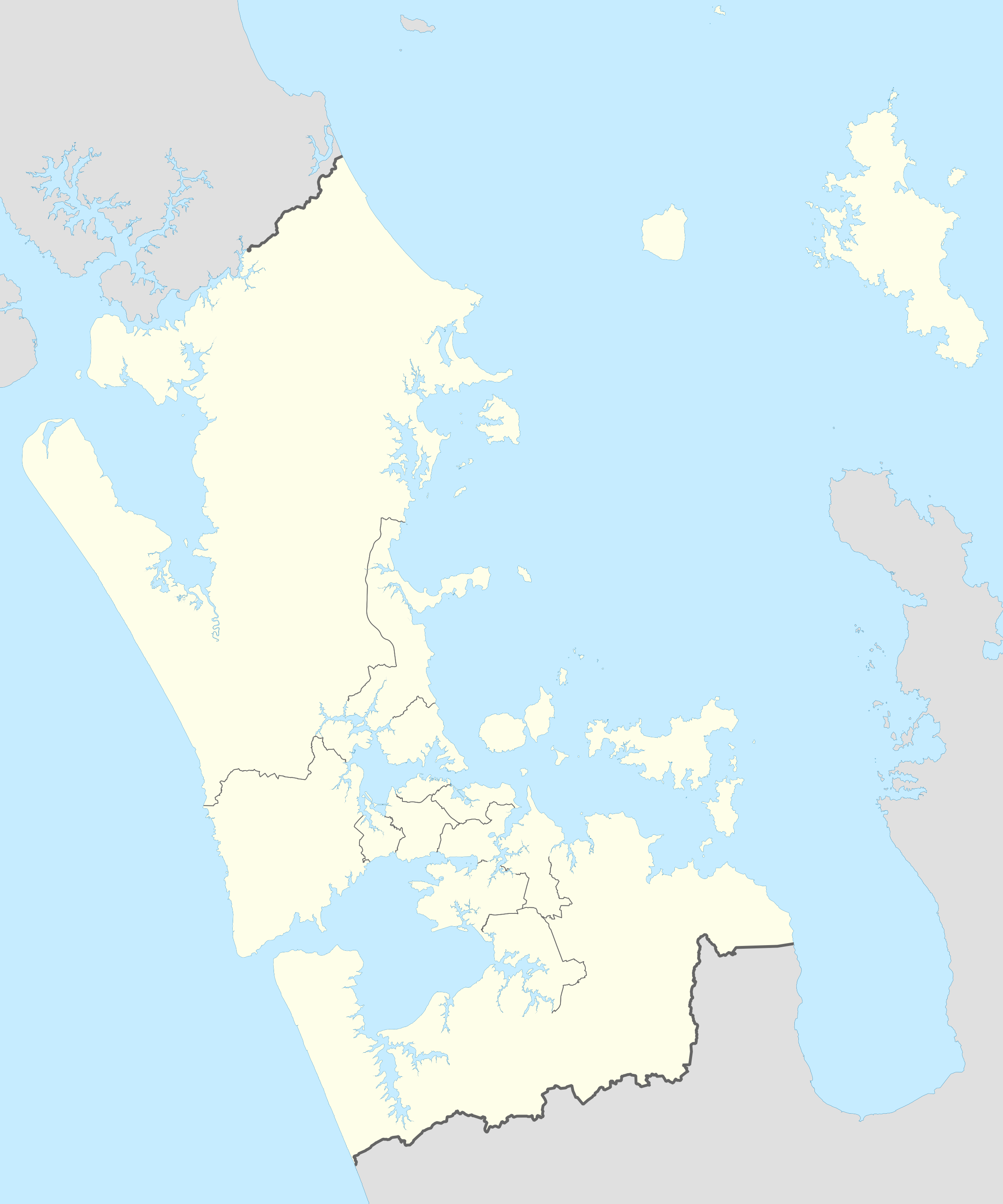
Description: A map of Auckland region, with its Wards outlined, with no single ward highlighted. Ward Boundaries as of 2019
Title: Auckland Council 2019 Wards Outlined Blank
Credit: Own work
Author: RadishSlice
Usage Terms: Creative Commons Attribution-Share Alike 4.0
License: CC BY-SA 4.0
License Link: https://creativecommons.org/licenses/by-sa/4.0
Attribution Required?: Yes
Image usage
The following 2 pages link to this image:

All content from Kiddle encyclopedia articles (including the article images and facts) can be freely used under Attribution-ShareAlike license, unless stated otherwise.