
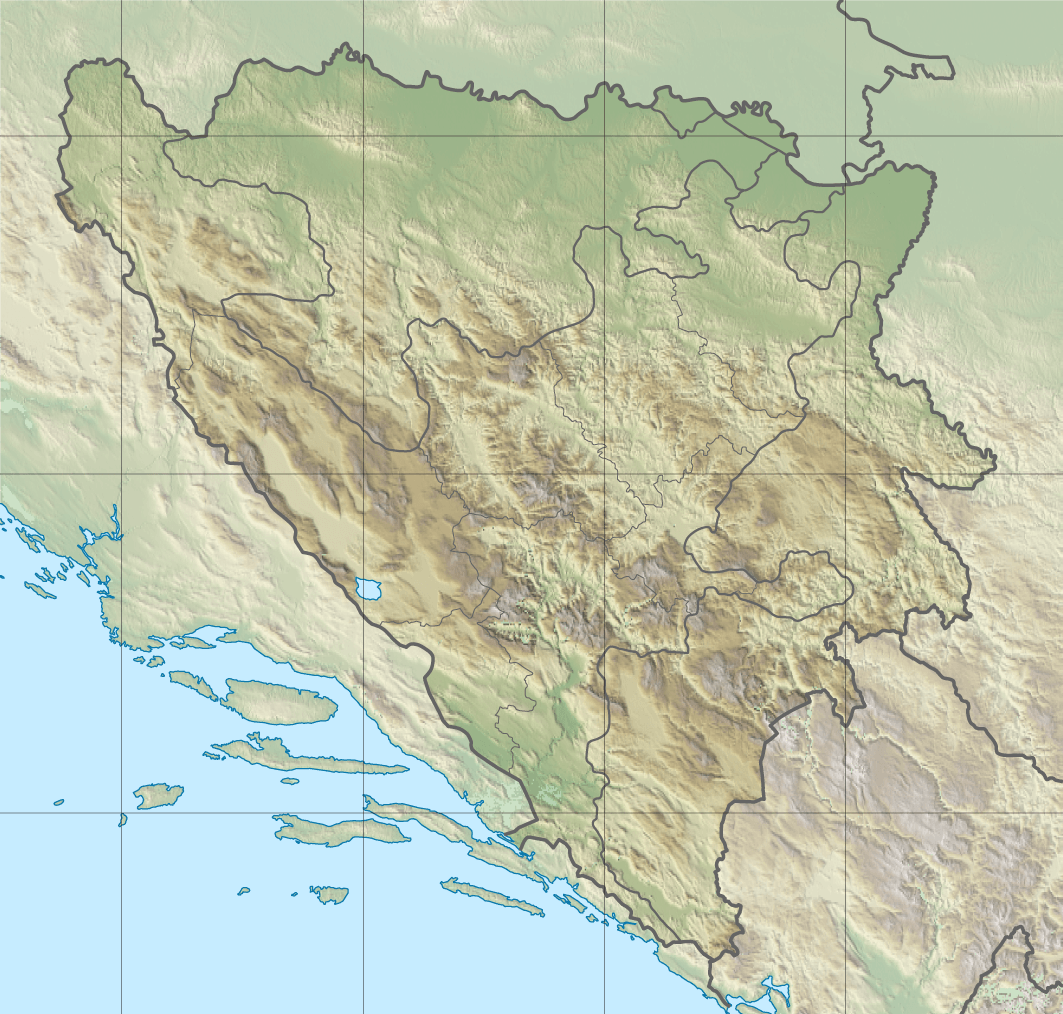
Image: Bosnia and Herzegovina relief location map
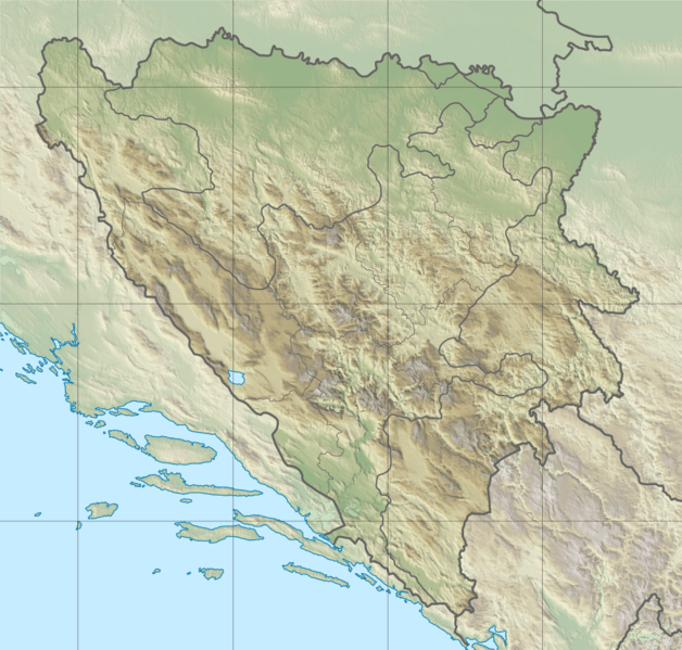
Size of this preview: 628 × 599 pixels. Other resolutions: 252 × 240 pixels | 1,063 × 1,014 pixels.
Original image (1,063 × 1,014 pixels, file size: 1.46 MB, MIME type: image/png)
Description: Blank relief location map of Bosnia and Herzegovina
Title: Bosnia and Herzegovina relief location map
Credit: Own work Sources : Topographic background : NASA Shuttle Radar Topography Mission (public domain). SRTM3 v.2. Shorelines and border from File:Bosnia and Herzegovina location map.svg created by NordNordWest under GFDL/CC-BY-SA 3.0
Author: DzWiki & NordNordWest
Usage Terms: Creative Commons Attribution-Share Alike 3.0
License: CC BY-SA 3.0
License Link: http://creativecommons.org/licenses/by-sa/3.0
Attribution Required?: Yes
Image usage
The following 3 pages link to this image:

All content from Kiddle encyclopedia articles (including the article images and facts) can be freely used under Attribution-ShareAlike license, unless stated otherwise.