
Image: California Locator Map with US
Size of this preview: 529 × 600 pixels. Other resolutions: 212 × 240 pixels | 532 × 603 pixels.
Original image (532 × 603 pixels, file size: 80 KB, MIME type: image/png)
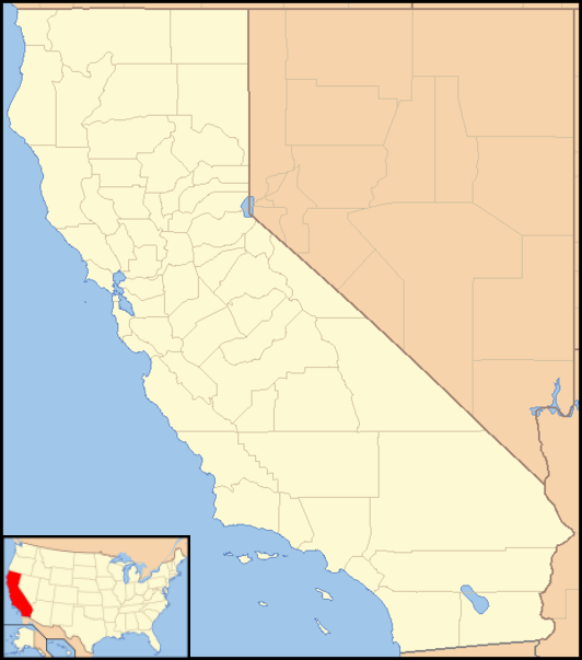
Description: Locator Map of California, United States
Title: California Locator Map with US
Credit: taken from US Census website [1] and modified by User:VerruckteDan, User:Ruhrfisch, User:Huebi, and User:Appraiser
Author: US Census, User:VerruckteDan, User:Ruhrfisch, User:Huebi, and User:Appraiser
Permission: US Census / US Government work is public domain, my modifications licensed under the GNU Free Documentation License
Usage Terms: Public domain
License: Public domain
Attribution Required?: No
Image usage
The following 15 pages link to this image:
- Big Valley, Calaveras County, California
- Buena Vista, Mariposa County, California
- Deadwood, Butte County, California
- Delmonico Place, California
- Frink, California
- Halvern, California
- Mother Lode Acres, California
- Old Bailey Place, California
- Old Ornbaun Hot Springs, California
- Olive Hill, California
- Orita, California
- Palo Colorado Canyon, California
- Pulga, California
- Stronetta, California
- Wineland, California

All content from Kiddle encyclopedia articles (including the article images and facts) can be freely used under Attribution-ShareAlike license, unless stated otherwise.