
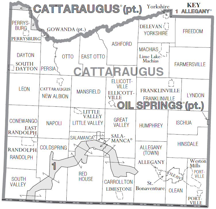
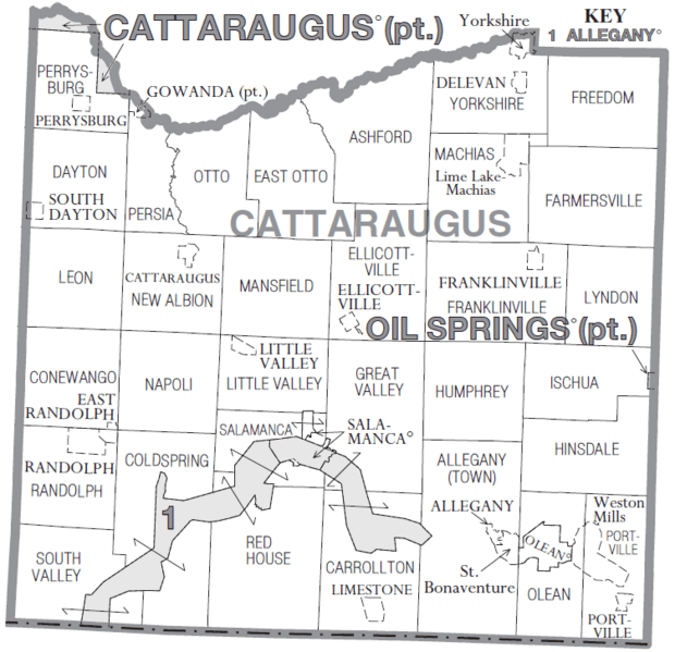
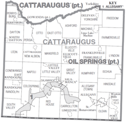
Image: Cattaraugus County, New York Divisions
Size of this preview: 620 × 599 pixels. Other resolutions: 248 × 240 pixels | 752 × 727 pixels.
Original image (752 × 727 pixels, file size: 135 KB, MIME type: image/png)
Description: Map of Cattaraugus County, NY showing cities, towns, villages and CDPs. Taken from U.S. Census Bureau website and modified by Reelcheeper.
Title: Cattaraugus County, New York Divisions
Credit: http://www2.census.gov/geo/maps/general_ref/cousub_outline/cen2k_pgsz/ny_cosub.pdf
Author: U.S. Census Bureau
Usage Terms: Public domain
License: Public domain
Attribution Required?: No
Image usage
The following 2 pages link to this image:

All content from Kiddle encyclopedia articles (including the article images and facts) can be freely used under Attribution-ShareAlike license, unless stated otherwise.