
Image: Dunbeg-Promontory-Fort-2012
Size of this preview: 800 × 521 pixels. Other resolutions: 320 × 208 pixels | 4,600 × 2,994 pixels.
Original image (4,600 × 2,994 pixels, file size: 5.12 MB, MIME type: image/jpeg)
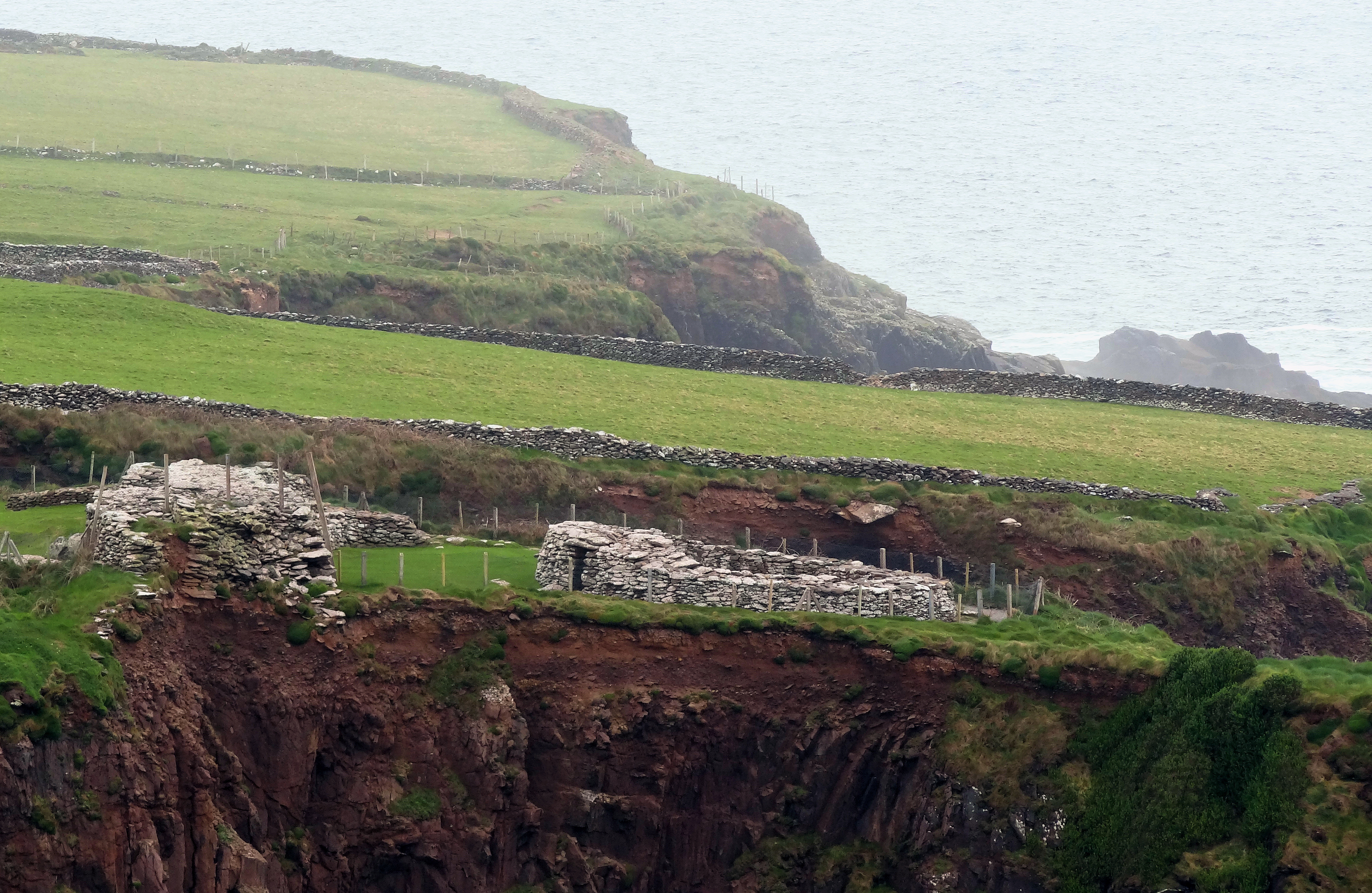
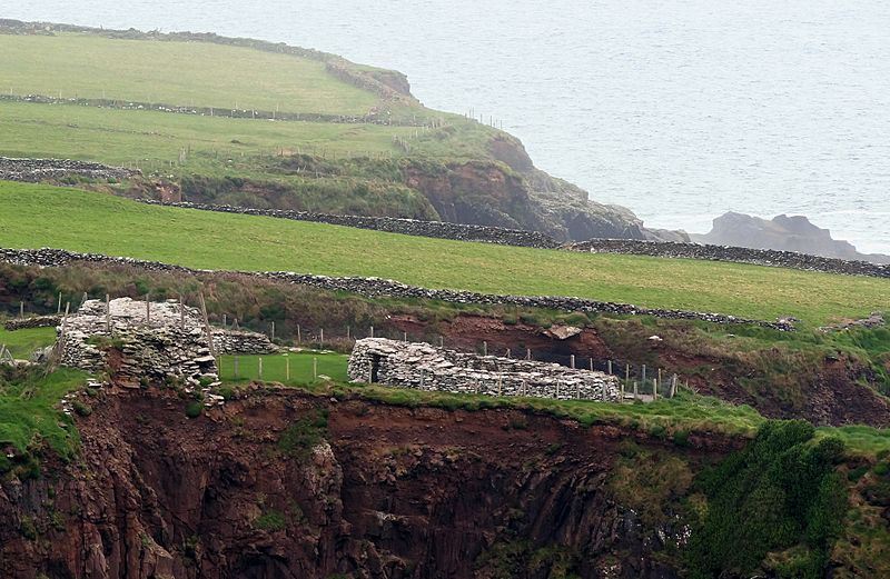
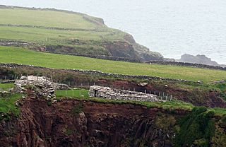
Description: The Dunbeg promontory fort on the Dingle Peninsula is a defensive structure located above a steep cliff, connected to the mainland by a small neck of land, thus utilizing the topography to reduce the ramparts needed. It probably dates back to the Iron Age.
Title: Dunbeg-Promontory-Fort-2012
Credit: Own work by uploader, http://bjornfree.com/galleries.html
Author: Bjørn Christian Tørrissen
Usage Terms: Creative Commons Attribution-Share Alike 3.0
License: CC BY-SA 3.0
License Link: https://creativecommons.org/licenses/by-sa/3.0
Attribution Required?: Yes
Image usage
The following 3 pages link to this image:

All content from Kiddle encyclopedia articles (including the article images and facts) can be freely used under Attribution-ShareAlike license, unless stated otherwise.