
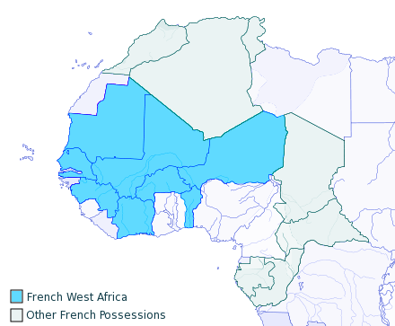
Image: French West Africa 1913 map
No higher resolution available.
French_West_Africa_1913_map.png (440 × 363 pixels, file size: 46 KB, MIME type: image/png)
Description: I created this, using the Gimp, from a blank GPL Map on Wikipedia, 2007-06-15. Released to Public Domain
Title: French West Africa 1913 map
Credit: Transferred from en.wikipedia to Commons.
Author: T L Miles at English Wikipedia
Usage Terms: Public domain
License: Public domain
Attribution Required?: No
Image usage
The following 4 pages link to this image:

All content from Kiddle encyclopedia articles (including the article images and facts) can be freely used under Attribution-ShareAlike license, unless stated otherwise.