
Image: ItalianMareNostrum
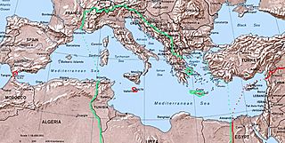
Size of this preview: 800 × 402 pixels. Other resolutions: 320 × 161 pixels | 1,254 × 630 pixels.
Original image (1,254 × 630 pixels, file size: 319 KB, MIME type: image/jpeg)
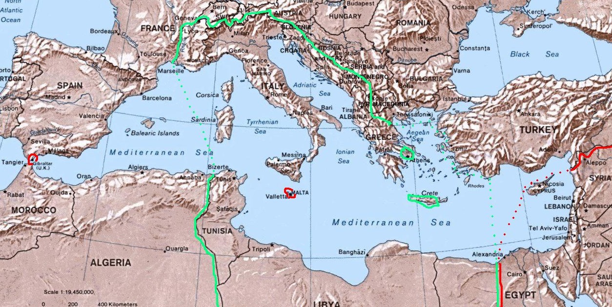
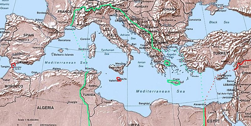
Description: Map of Italian "Mare Nostrum" (Italian Mediterranean), showing inside the green line & dots the italian areas in the Mediterranean sea during summer 1942 (in red those under British control). The remaining areas were under Axis control (Germany,Bulgary and Vichy France) and under friendly neutrality (Spain, Turkey).
Title: ItalianMareNostrum
Credit: self-made (I have based my work on the original Commons Image:Mediterranean Relief.jpg, licensed PD-USGov)
Author: Brunodambrosio
Usage Terms: Public domain
License: Public domain
Attribution Required?: No
Image usage
The following 3 pages link to this image:

All content from Kiddle encyclopedia articles (including the article images and facts) can be freely used under Attribution-ShareAlike license, unless stated otherwise.