
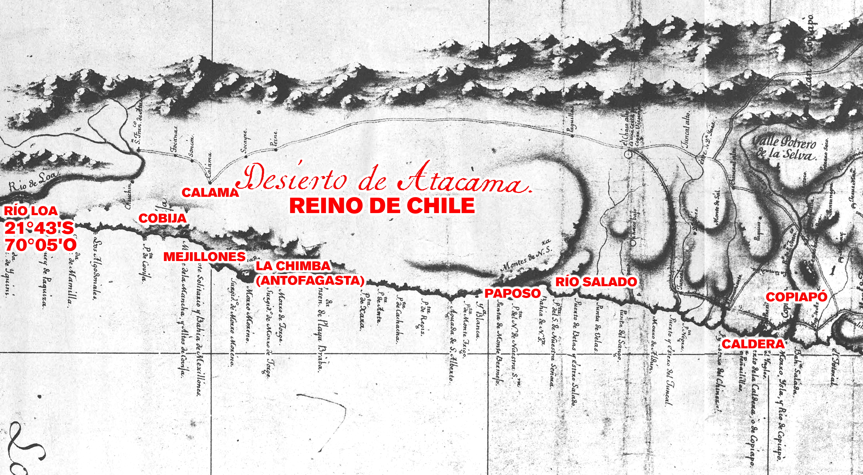
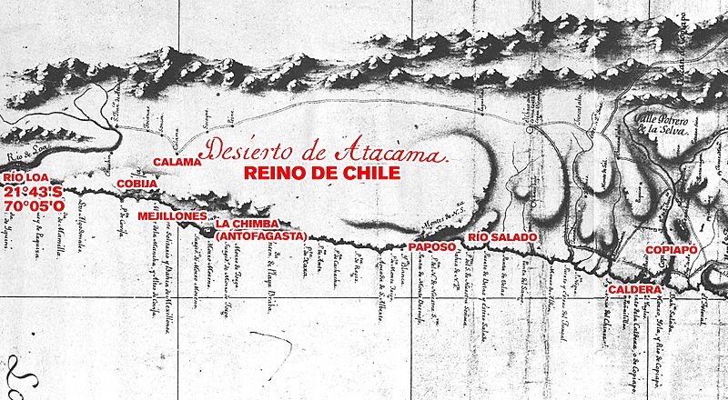
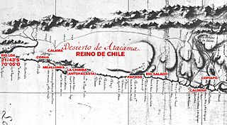
Image: Límite entre Chile y Perú en el río Loa, Plano General del Reyno de Chile en la América Meridional de Andrés Baleato (1793) (Editado)
Size of this preview: 800 × 440 pixels. Other resolutions: 320 × 176 pixels | 2,918 × 1,605 pixels.
Original image (2,918 × 1,605 pixels, file size: 3.18 MB, MIME type: image/jpeg)
Description: Plano General del Reyno de Chile en la América Meridional de Andrés Baleato (1793)
Title: Límite entre Chile y Perú en el río Loa, Plano General del Reyno de Chile en la América Meridional de Andrés Baleato (1793) (Editado)
Credit: http://www.bibliotecanacionaldigital.gob.cl/bnd/631/w3-article-156657.html
Author: Andrés Baleato
Usage Terms: Public domain
License: Public domain
Attribution Required?: No
Image usage
The following 3 pages link to this image:

All content from Kiddle encyclopedia articles (including the article images and facts) can be freely used under Attribution-ShareAlike license, unless stated otherwise.
_(Editado).jpg)