
Image: Lapal Tunnel East 50pc
Size of this preview: 800 × 520 pixels. Other resolutions: 320 × 208 pixels | 3,508 × 2,280 pixels.
Original image (3,508 × 2,280 pixels, file size: 2.89 MB, MIME type: image/jpeg)
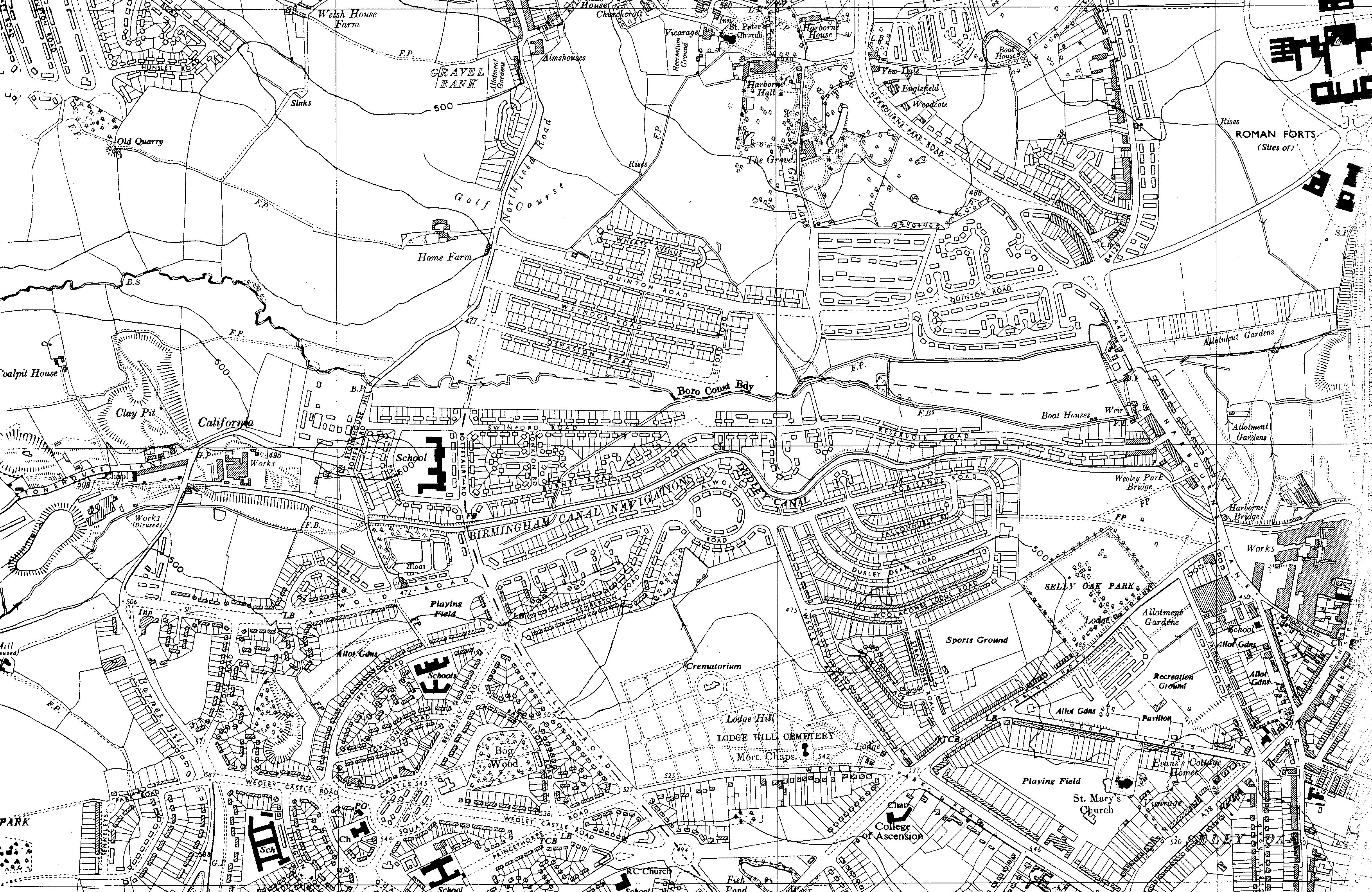
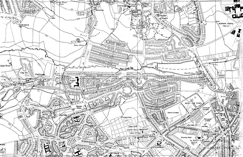
Description: Old OS map of the eastern portal of the Lapal Tunnel on the, now disused and dry, Selly Oak arm of the Dudley Canal in England. The portal is below the letter "a" of "California", near the horizontal centre line, 20% from the left. Selly Oak Junction (the terminus) is on the extreme right at the same latitude.
Title: Lapal Tunnel East 50pc
Credit: Ordnance Survey map SP08SW, 6 inch series 1955, scanned by en:User:Oosoom
Author: Ordnance Survey (UK)
Usage Terms: Public domain
License: Public domain
Attribution Required?: No
Image usage
The following 3 pages link to this image:

All content from Kiddle encyclopedia articles (including the article images and facts) can be freely used under Attribution-ShareAlike license, unless stated otherwise.