
Image: Malouines-Est
Size of this preview: 748 × 599 pixels. Other resolutions: 300 × 240 pixels | 1,611 × 1,291 pixels.
Original image (1,611 × 1,291 pixels, file size: 549 KB, MIME type: image/jpeg)
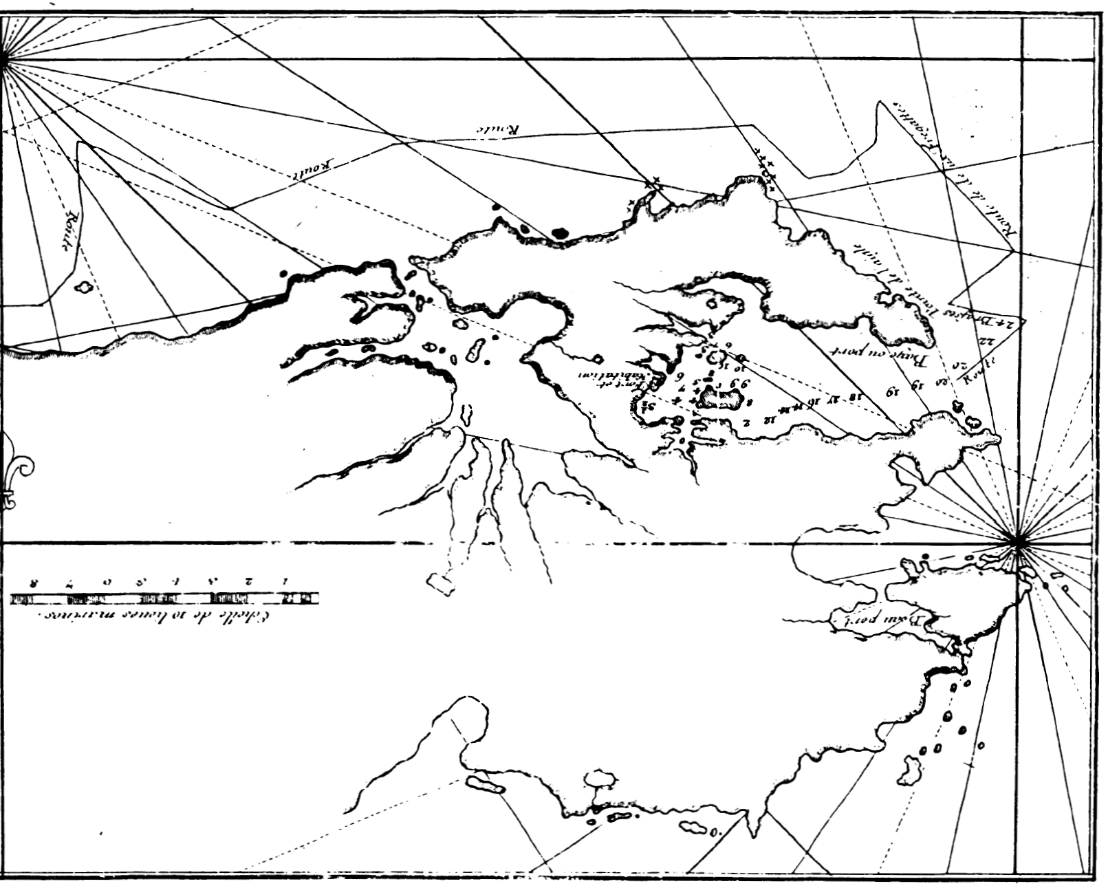
Description: Map of northeastern East Falkland, Falkland Islands (Dom Pernety, 1769). The originally South-Up map is turned upside down here for an easier coastline recognition.
Title: Malouines-Est
Credit: Bibliothèque nationale de France
Author: Antoine-Joseph Pernety
Usage Terms: Public domain
License: Public domain
Attribution Required?: No
Image usage
The following 4 pages link to this image:

All content from Kiddle encyclopedia articles (including the article images and facts) can be freely used under Attribution-ShareAlike license, unless stated otherwise.