
Image: Mansewood1747-1755
Size of this preview: 600 × 600 pixels. Other resolutions: 240 × 240 pixels | 768 × 768 pixels.
Original image (768 × 768 pixels, file size: 145 KB, MIME type: image/jpeg)
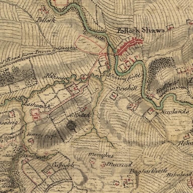
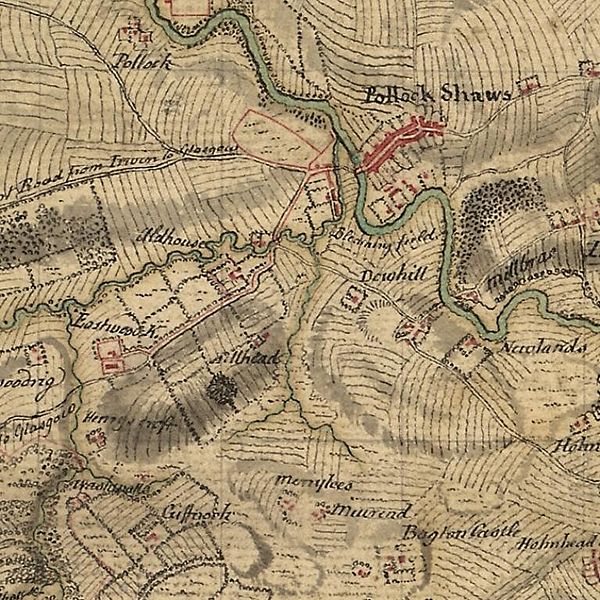
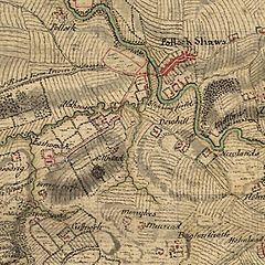
Description: Mansewood as depicted in William Roy's Military Survey of Scotland 1747-1755. The Drumlin on which Mansewood is located is shown as the oval shaded area in the lower left. It is bounded by Henry's Croft farm in the South West, the original Eastwood Kirk (now Eastwood Old Cemetery) to the West, Auldhouse to the North and Hillhead House to the North East.
Title: Mansewood1747-1755
Credit: This image is available from the National Library of Scotland
Author: William Roy
Usage Terms: Public domain
License: Public domain
Attribution Required?: No
Image usage
The following 3 pages link to this image:

All content from Kiddle encyclopedia articles (including the article images and facts) can be freely used under Attribution-ShareAlike license, unless stated otherwise.