
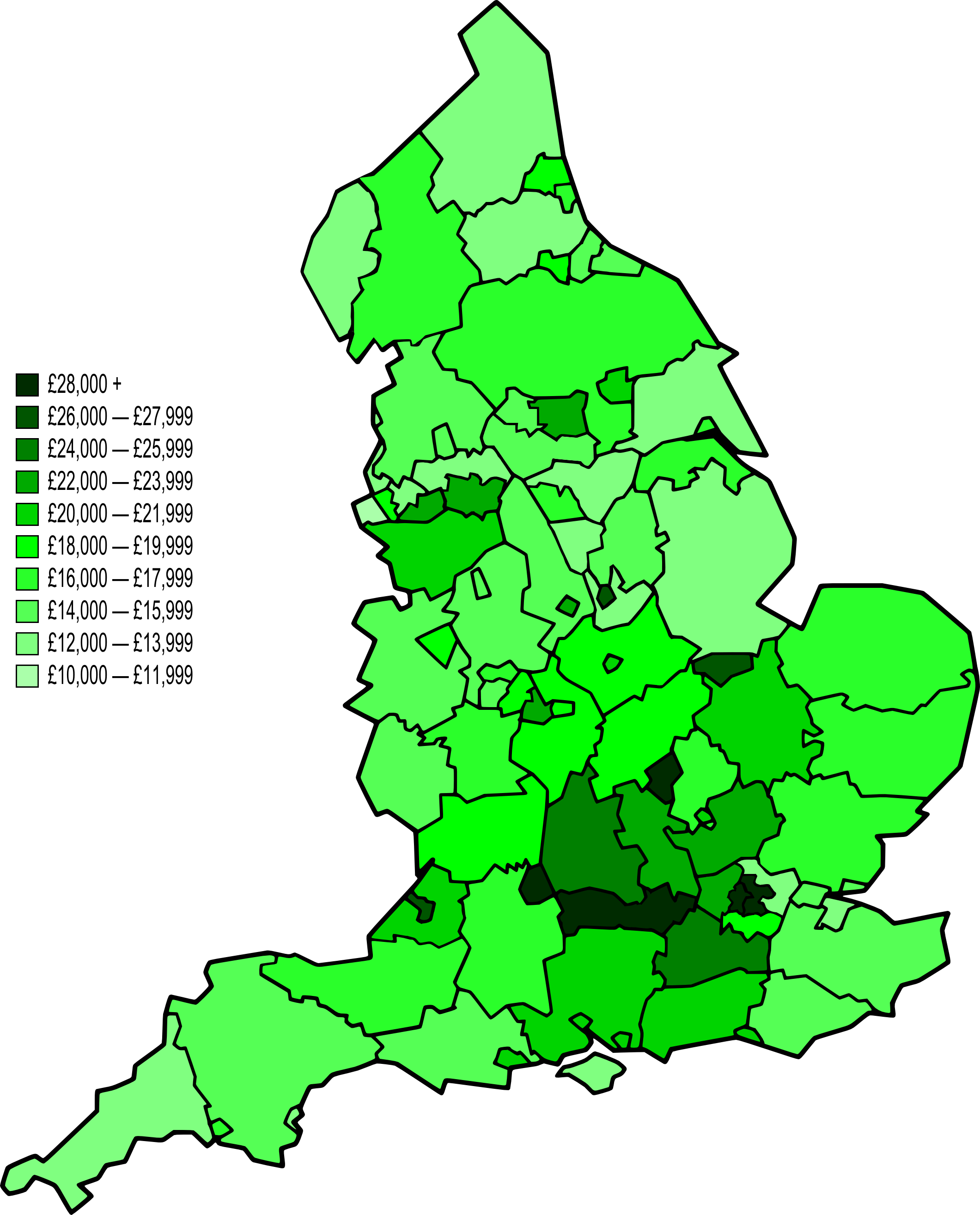
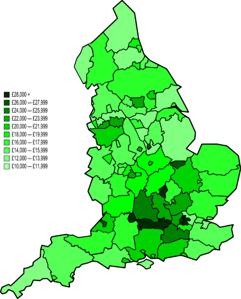
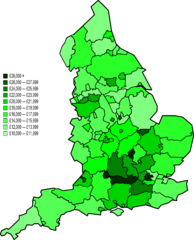
Image: Map of NUTS 3 areas in England by GVA per capita (2007)
Description: A map of England divided by NUTS 3 level subdivisons. They are coloured on a ten shade scale of green with light green having the lowest average GVA per capita in 2007 to dark green for the highest. England average is £20,458.
Title: Map of NUTS 3 areas in England by GVA per capita (2007)
Credit: Most of the map's structure came from Image:BlankMap-EnglandSubdivisions.svg, although several merging and splitting of subdivisons was done by Jolly Janner using Inkscape. The data was from a report by the Office for National Statistics (URL: page 31-33).
Author: Kanguole and Jolly Janner.
Permission: Must attribute Kanguole.
Usage Terms: Creative Commons Attribution-Share Alike 3.0
License: CC-BY-SA-3.0
License Link: http://creativecommons.org/licenses/by-sa/3.0/
Attribution Required?: Yes
Image usage
The following 2 pages link to this image:

.png)