
Image: Mexico Tabasco location map

Size of this PNG preview of this SVG file: 800 × 477 pixels. Other resolution: 320 × 191 pixels.
Original image (SVG file, nominally 1,050 × 626 pixels, file size: 248 KB)
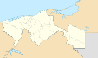
Description: Location Map of Tabasco Equirectangular projection, Geographic limits of the map: N: 19.00° N S: 16.90° N W: 94.20° W E: 90.50° W
Title: Mexico Tabasco location map
Credit: OpenStreetMap.org This W3C-unspecified vector image was created with Inkscape .
Author: Spischot
Usage Terms: Creative Commons Attribution-Share Alike 3.0
License: CC-BY-SA-3.0
License Link: http://creativecommons.org/licenses/by-sa/3.0/
Attribution Required?: Yes
Image usage
The following 4 pages link to this image:

All content from Kiddle encyclopedia articles (including the article images and facts) can be freely used under Attribution-ShareAlike license, unless stated otherwise.