
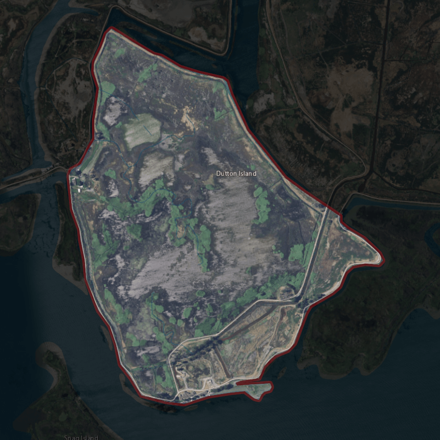
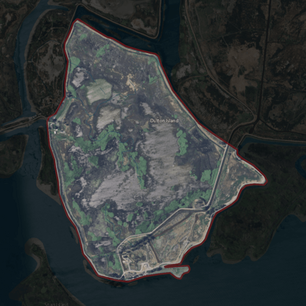
Image: NASA Worldwind, USGS imagery map, Dutton Island, California
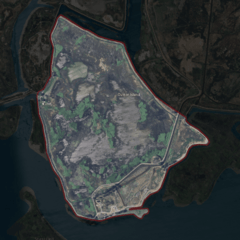
Size of this preview: 600 × 600 pixels. Other resolutions: 240 × 240 pixels | 900 × 900 pixels.
Original image (900 × 900 pixels, file size: 1.14 MB, MIME type: image/png)
Description: Aerial photo of an island.
Title: NASA Worldwind, USGS imagery map, Dutton Island, California
Credit: NASA tool at worldwind.earth, USGS Topo Imagery map layer
Author: USGS imagery
Permission: This image is in the public domain in the United States because it only contains materials that originally came from the United States Geological Survey, an agency of the United States Department of the Interior. For more information, see the official USGS copyright policy.
Usage Terms: Public domain
License: Public domain
Attribution Required?: No
Image usage
The following 2 pages link to this image:

All content from Kiddle encyclopedia articles (including the article images and facts) can be freely used under Attribution-ShareAlike license, unless stated otherwise.