
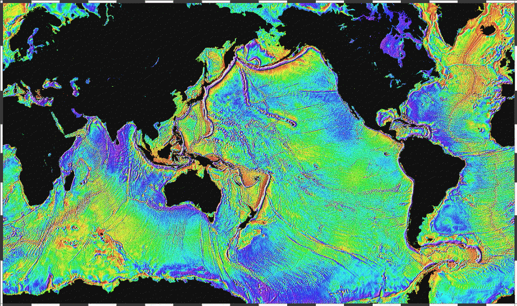
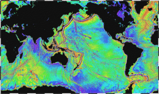
Image: Ocean gravity map
Size of this preview: 800 × 473 pixels. Other resolutions: 320 × 189 pixels | 1,010 × 597 pixels.
Original image (1,010 × 597 pixels, file size: 466 KB, MIME type: image/gif)
Description: Ocean basins mapped with satellite altimetry. Seafloor features larger than 10 km are detected by resulting gravitational distortion of sea surface.
Title: Ocean gravity map
Credit: http://www.ngdc.noaa.gov/mgg/bathymetry/predicted/explore.HTML
Author: NOAA
Usage Terms: Public domain
License: Public domain
Attribution Required?: No
Image usage

All content from Kiddle encyclopedia articles (including the article images and facts) can be freely used under Attribution-ShareAlike license, unless stated otherwise.