Image: T18

Size of this preview: 800 × 545 pixels. Other resolutions: 320 × 218 pixels | 11,548 × 7,868 pixels.
Original image (11,548 × 7,868 pixels, file size: 6.27 MB, MIME type: image/jpeg)
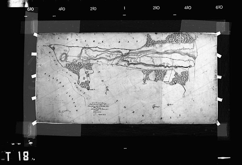
Description: This is a historic map that is part of a comprehensive coastal survey, undertaken by NOAA (US Federal Government) from 1835-1847, focusing on the New York Harbor area. This map is referred to as a 'T-sheet' and is one of thousands of maps available from NOAA that have not yet been georeferenced.
Title: T18
Credit: NOAA Coastal Survey T-Sheets
Author: NOAA, US Federal Government
Usage Terms: Public domain
License: Public domain
Attribution Required?: No
Image usage
The following 2 pages link to this image:

All content from Kiddle encyclopedia articles (including the article images and facts) can be freely used under Attribution-ShareAlike license, unless stated otherwise.
