Curries Woods facts for kids
Curries Woods is a neighborhood in the southern part of Greenville in Jersey City, New Jersey. It is right next to Bayonne. The area was named after James Curie. He was part of the town committee for Greenville when it was its own township many years ago in the 1800s.
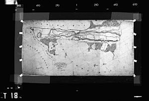
This area stayed mostly rural for a long time. Later in the 1800s, the Central Railroad of New Jersey built a train line. This line connected ferries to Elizabeth, New Jersey, and New York City. Curries Woods was still untouched, known for its beautiful woods, rocky shore, and sand dunes along Newark Bay.
Over time, much of this land was lost. However, a small part was saved in the early 1900s. There was also a small burial ground nearby called the Old Greenville Cemetery. In 1959, a large housing project took over most of this land. Only a small piece in Bayonne, called Mercer Park, remained.
What Does Pamrapo Mean?

The area around the city border was once called Pamrapo. This name comes from the Algonquian language. This language was spoken by the Hackensack people. They were a group of the Lenni-Lenape people. They lived in northeastern New Jersey when Europeans first arrived in the 1600s.
The name "Pamrapo" might mean rock or point of rocks. This would describe the rocky land and a natural dip in Bergen Hill. This area is part of the lower Hudson Palisades. The name has been spelled many ways over time, like Pimbrepow and Pamrepaw.
Today, two streets still have this name. One is in Greenville and the other is in northern Bayonne. The Pamrapo Bank, started in Bayonne in the 1800s, also got its name from this area. The Central Railroad of New Jersey even had a station called Pamrapo. This train path is now used by the Hudson Bergen Light Rail.
The City Border
The city line between Jersey City and Bayonne is quite interesting. Tracks from the original Lehigh Valley Terminal Railway, New Jersey Route 185, and the New Jersey Turnpike Extension (I-78) all create a clear physical boundary.
However, the actual city border cuts diagonally through the neighborhood. It follows the path of the old Morris Canal. This canal had an unusual path because of Bergen Hill, which is part of the lower Hudson Palisades. The canal was dug through a natural break in the rocks. Then it traveled northwest to meet the Hackensack River. You can still see a filled-in part of it in Country Village.
Getting Around (Transportation)
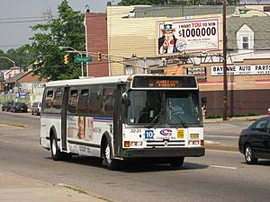
Merritt Street is a short road in the neighborhood. It is about 0.14 miles (0.23 kilometers) long. It's where Old Bergen Road and Ocean Avenue end, and Avenue C begins. This street is also the end point for New Jersey Transit Bus 6.
 | William Lucy |
 | Charles Hayes |
 | Cleveland Robinson |


