
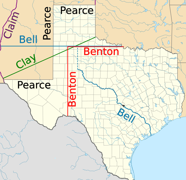
Image: Texas proposed boundaries
Size of this PNG preview of this SVG file: 621 × 600 pixels. Other resolution: 248 × 240 pixels.
Original image (SVG file, nominally 1,475 × 1,425 pixels, file size: 697 KB)
Description: Northern and western boundaries of Texas proposed by various Senators in the Compromise of 1850 debate
Title: Texas proposed boundaries
Credit: USA_Texas_location_map.svg
Author: USA_Texas_location_map.svg: Alexrk derivative work: JWB (talk)
Usage Terms: Creative Commons Attribution 3.0
License: CC BY 3.0
License Link: http://creativecommons.org/licenses/by/3.0
Attribution Required?: Yes
Image usage
The following 4 pages link to this image:

All content from Kiddle encyclopedia articles (including the article images and facts) can be freely used under Attribution-ShareAlike license, unless stated otherwise.