
Image: Thomas Hutchins Map of Henry Bouquet's 1764 Expedition

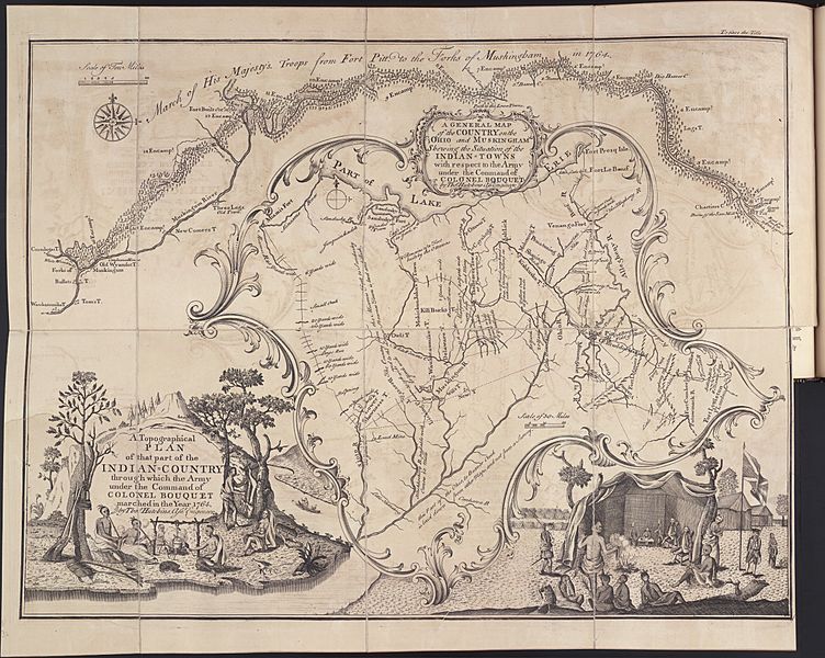
Description: A GENERAL MAP of the COUNTRY on the OHIO and MUSKINGHAM Shewing the Situation of the INDIAN = TOWNS with respect to the ARMY under the Command of COLONEL BOUQUET by Tho's Hutchins Ass't Engineer A Topographical PLAN of that part of the INDIAN = COUNTRY through which Army under the Command of COLONEL BOUQUET marched in the Year 1764 by Tho's Hutchins. Ass't Engineer https://en.wikipedia.org/wiki/Population_history_of_the_indigenous_peoples_of_the_Americas#Deliberate_infection
Title: Thomas Hutchins Map of Henry Bouquet's 1764 Expedition
Credit: Original publication: British Army map 1764 Immediate source: http://farm9.staticflickr.com/8359/8291235603_f86edbcc80_o.jpg
Author: Thomas Hutchins (Life time: 1730-1789)
Usage Terms: Public domain
License: Public domain
Attribution Required?: No
Image usage
The following 3 pages link to this image:
