
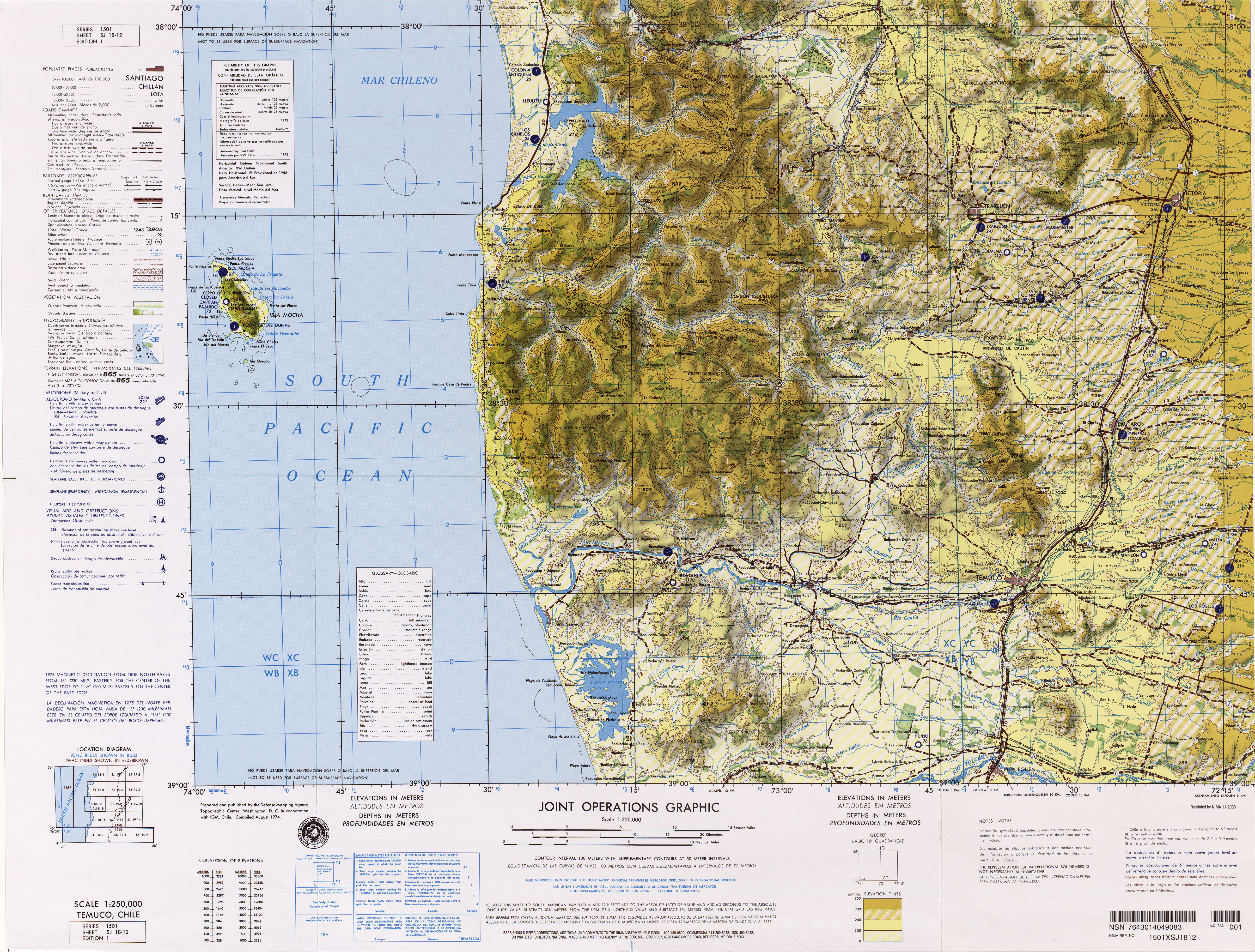
Image: Txu-oclc-224571178-sj18-12
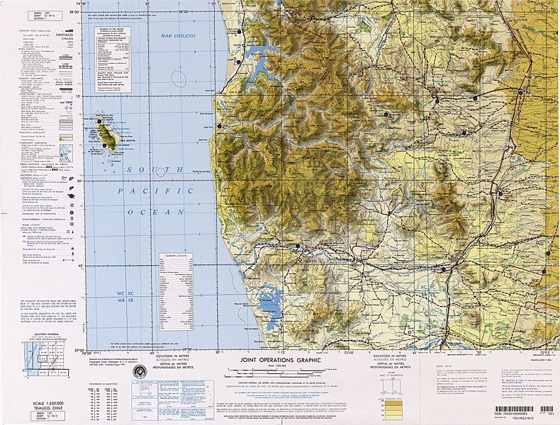
Size of this preview: 790 × 600 pixels. Other resolutions: 316 × 240 pixels | 5,226 × 3,966 pixels.
Original image (5,226 × 3,966 pixels, file size: 8.37 MB, MIME type: image/jpeg)
Description: Nahuelbuta, Imperial, Temuco, Tirua, Traigen, Victoria, Isla Mocha
Title: Txu-oclc-224571178-sj18-12
Credit: http://www.lib.utexas.edu/maps/jog/latin_america/
Author: Latin America, Joint Operations Graphic 1:250,000, U.S. National Imagery and Mapping Agency
Permission: This image is a work of the United States National Geospatial-Intelligence Agency or one of its predecessor agencies. As a work of the U.S. federal government, the image is in the public domain.
Usage Terms: Public domain
License: Public domain
Attribution Required?: No
Image usage
The following 5 pages link to this image:

All content from Kiddle encyclopedia articles (including the article images and facts) can be freely used under Attribution-ShareAlike license, unless stated otherwise.