Keda, Georgia facts for kids
Quick facts for kids
Keda
ქედა
|
|
|---|---|
|
Town
|
|
 |
|
| Country | |
| Autonomous Republic | |
| Municipality | |
| Town from | 1966 |
| Elevation | 256 m (840 ft) |
| Population
(2021)
|
|
| • Total | 1,285 |
| Time zone | UTC+4 (Georgian Time) |
| Website | keda.gov.ge |
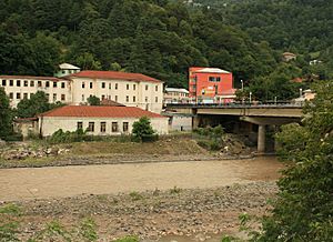
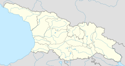
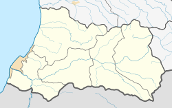
Keda (Georgian: ქედა) is a small town, also known as a daba, located in the beautiful region of Adjara in southwestern Georgia. It's about 42 kilometers (26 miles) east of Batumi, which is the main city of Adjara. Keda is an important place because it's the administrative center for the Keda Municipality.
The town sits where two rivers, the Acharistsqali and Akavreta, meet. It's located about 256 meters (840 feet) above sea level. Keda has a population of about 1,285 people as of 2021.
Keda has many important buildings and services. These include places for local government, schools, and health centers. There are also small businesses and a museum where you can learn about the area's history. In the 1800s, Keda was a busy trading post. It officially became a daba (urban-type settlement) in 1966.
Keda's Population
At the start of 2021, Keda had a population of 1,285 people. This number was a bit lower than in 2014. Most of the people living in Keda are Georgians.
Getting Around Keda
Only one main road goes through Keda. This road is called the Sh1, and it connects Batumi to Akhaltsikhe. It's a very important route because it links Adjara with another region called Samtskhe-Javakheti by crossing the Goderdzi Pass.
If you want to visit Keda, you can take minibuses, which are called marshutkas in Georgia. These minibuses travel from Batumi to Keda, making it easy to get there.
See also
 In Spanish: Keda (Georgia) para niños


