List of Sites of Special Scientific Interest in Hertfordshire facts for kids
Hertfordshire is a county in eastern England. It shares borders with Bedfordshire, Cambridgeshire, Essex, Buckinghamshire, and Greater London. The main town of the county is Hertford.
Hertfordshire is home to many special natural places called SSSIs. These sites are chosen by an organization called Natural England. They pick these spots because they have very important plants, animals, or unique geological features like rocks and landforms.
As of 2019, there are 43 SSSIs in Hertfordshire. Most of these places are important for their amazing wildlife, while a few are special because of their geology.
Contents
- What do the symbols mean?
- Special Places in Hertfordshire
- Aldbury Nowers
- Alpine Meadow, Berkhamsted
- Amwell Quarry
- Ashridge Commons & Woods
- Ashwell Springs
- Benington High Wood
- Blagrove Common
- Bricket Wood Common
- Castle Lime Works Quarry
- Croxley Common Moor
- Downfield Pit, Westmill
- Frogmore Meadows
- Great Hormead Park
- Hertford Heath
- Hillcollins Pit
- Hunsdon Mead
- Knebworth Woods
- Little Heath Pit
- Moor Hall Meadows
- Moor Mill Quarry, West
- Northaw Great Wood
- Oddy Hill and Tring Park
- Oughtonhead Lane
- Patmore Heath
- Plashes Wood
- Redwell Wood
- Roughdown Common
- Rye Meads
- Sarratt Bottom
- Sawbridgeworth Marsh
- Sherrardspark Wood
- Tewinbury
- Therfield Heath
- Thorley Flood Pound
- Tring Reservoirs
- Tring Woodlands
- Turnford and Cheshunt Pits
- Wain Wood
- Water End Swallow Holes
- Westwood Quarry
- Whippendell Wood
- Wormley-Hoddesdonpark Wood North
- Wormley-Hoddesdonpark Wood South
- See also
What do the symbols mean?
- B = This site is important for its Biological features (living things like plants and animals).
- G = This site is important for its Geological features (rocks, land, and how the Earth was formed).
Other Important Groups
- CAONB = Chilterns Area of Outstanding Natural Beauty: A beautiful protected landscape.
- HMWT = Herts and Middlesex Wildlife Trust: A local charity that helps protect wildlife.
- LNR = Local Nature Reserve: A place protected for nature by local councils.
- NNR = National Nature Reserve: A very important place for nature, protected by the country.
- NT = National Trust: A charity that looks after historic places and nature.
- RSPB = Royal Society for the Protection of Birds: A charity that protects birds.
Special Places in Hertfordshire
Here are some of the amazing SSSIs you can find in Hertfordshire:
Aldbury Nowers
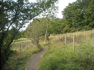
This site is known for its beautiful chalk grassland flowers. It's also a great place for butterflies, including rare species like the Duke of Burgundy. You can also find large areas of woodland here.
- Public access: YES
- Managed by: HMWT
Alpine Meadow, Berkhamsted
This small, steep meadow is a rare example of untouched chalk grassland. It has many types of grasses and lots of orchids, like the common twayblade.
- Public access: YES
- Managed by: HMWT
Amwell Quarry
This site is super important for birds that spend the winter here. It's also the best place in Britain for dragonflies! You can find rare plants and many different kinds of snails and slugs here.
- Public access: YES
- Managed by: HMWT
Ashridge Commons & Woods
This large area has lots of woodland, grass, and scrub. Many birds nest here, including some rare ones like firecrests and nightingales.
- Public access: YES
- Managed by: CAONB, NT
Ashwell Springs
This site has several freshwater springs that are home to rare cold-water animals without backbones, especially flatworms.
- Public access: YES
Benington High Wood
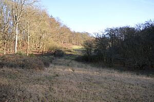
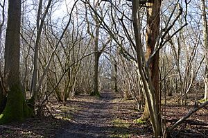
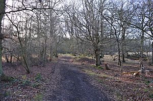
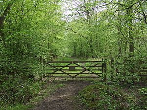
This is an ancient woodland, meaning it has been a forest for a very long time. It's one of the best examples of oak and hornbeam woodland in the county, with many different plants on the ground.
- Public access: YES
Blagrove Common
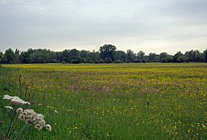
This is one of the few areas of untouched marshy grassland in east Hertfordshire. It has a stream and many different plants, including various orchids. Kestrels often hunt here.
- Public access: YES
- Managed by: HMWT
Bricket Wood Common
This common is what's left of a lowland heath, with wet areas and ancient woodland. In drier parts, you can find heather and other heath plants.
- Public access: YES
Castle Lime Works Quarry
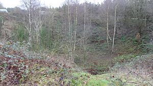
This quarry shows how the chalk rock has been shaped by water over millions of years, creating unique clay-filled holes. It's a great example of how the land changes over time.
- Public access: NO
Croxley Common Moor
This site is mostly grass heathland with some ancient woodland. Over 250 types of plants have been found here, and it has many ant hills made by yellow meadow ants.
- Public access: YES
- Managed by: LNR
Downfield Pit, Westmill
This site shows layers of gravel and clay left behind by the River Thames about 450,000 years ago. It helps us understand how the river used to flow before the ice age changed its path.
- Public access: YES
Frogmore Meadows
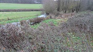
This site has marshy areas, fens, and damp grasslands next to a river. You might spot water voles on the river bank, and the damp areas have many interesting plants.
- Public access: YES
- Managed by: CAONB, HMWT
Great Hormead Park
This is an ancient woodland with many different tree species like elm and hornbeam, which means lots of different plants grow on the ground.
- Public access: YES
Hertford Heath
This heath is covered in heather and is home to grass snakes and slow worms. Wet areas have special mosses and rare water violets. It's also a great place for dragonflies and newts.
- Public access: YES
- Managed by: HMWT
Hillcollins Pit
This old gravel pit is important because it shows us where the ancient River Thames flowed about 1.6 to 1.8 million years ago.
- Public access: YES
Hunsdon Mead
This grassland often floods in winter and has many unusual plants like meadow brome and green-winged orchid.
- Public access: YES
- Managed by: HMWT
Knebworth Woods
This wood is very old and has a wide variety of plants and animals. Oak and hornbeam trees are common, and the ponds have unusual plants. It's also rich in fungi and mosses, and nightingales nest here.
- Public access: YES
Little Heath Pit
This site has layers of gravel that tell us about the Earth's history. The lowest layer is from 2.6 million years ago, and a higher layer shows what the area was like during the last ice age, around 20,000 years ago.
- Public access: YES
- Managed by: NT
Moor Hall Meadows
This site has many different types of meadows, especially marshy grasslands, which are very important for plants in the county. There's also a small ancient woodland with many breeding birds.
- Public access: YES
Moor Mill Quarry, West
This pit shows how ice moved during the Anglian glaciation about 450,000 years ago. This ice movement changed the path of the River Thames to where it is today.
- Public access: NO
Northaw Great Wood
This wood has one of the largest areas of ancient hornbeam trees in the county. Open areas, streams, and springs make it a very diverse place for wildlife.
- Public access: YES
- Managed by: LNR
Oddy Hill and Tring Park
This is one of the largest areas of untouched chalk downland in Hertfordshire. It has many different grasses and flowering plants, including various types of orchids.
- Public access: YES
Oughtonhead Lane
This site likely dates back to a warm period between ice ages, about 420,000 to 300,000 years ago. It was a marsh with a special rock called tufa, which holds fossils of snails and mammal bones. These fossils tell us about the climate and environment from long ago.
- Public access: YES
Patmore Heath
This heath has both dry grass and marshy areas. You can find uncommon plants like heath rush and many different dragonflies, including the emperor dragonfly.
- Public access: YES
- Managed by: HMWT
Plashes Wood
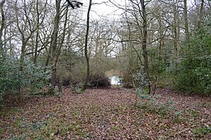
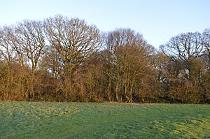
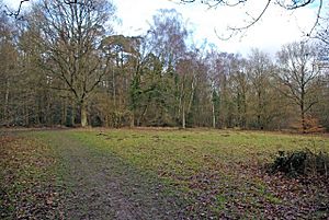
This wood is mainly oak and hornbeam trees. It has a variety of ground plants because the soil changes from damp clay to light gravel. There are also ponds and open areas with ferns.
- Public access: YES
Redwell Wood
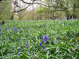
This site has both old and newer woodland, heath, and scrub. Oak trees are common, and you can find bluebells and other plants on the ground. The heathland has heather and rare creeping willow.
- Public access: YES
Roughdown Common
This is one of the few examples of untouched chalk grassland in Hertfordshire. It has special grasses and many orchids. It's also the only place in the county where common juniper trees grow naturally.
- Public access: YES
- Managed by: CAONB
Rye Meads
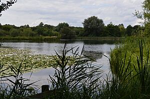
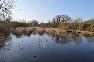
Part of this site is an ancient flood meadow with different habitats like reedbeds and marshy grassland. Ponies and water buffalo graze here. The ponds are home to kingfishers, snipe, and various ducks.
- Public access: YES
- Managed by: RSPB, HMWT
Sarratt Bottom
This meadow next to the River Chess is a great example of damp grassland that has been managed for grazing. It also has swamp and marsh areas with many different plants.
- Public access: NO
Sawbridgeworth Marsh
This marsh in a river valley has a wide variety of wetland plants. It's managed by grazing and cutting to keep its many different plants and animals healthy. It's also important for moths.
- Public access: YES
Sherrardspark Wood
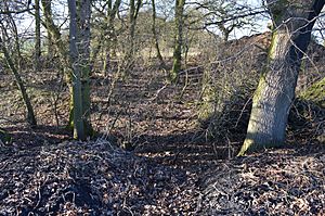
This is an ancient wood with oak and hornbeam trees. It has special sinkholes fed by streams, and a woodland path that provides a home for many insects.
- Public access: YES
- Managed by: LNR
Tewinbury
This site is next to the River Mimram and has rare alluvial meadows and marshes. It features swamp and tall fens with plants like butterbur. Otters have even been seen here!
- Public access: NO
- Managed by: HMWT
Therfield Heath
Natural England describes this as some of the richest chalkland in England. It's an untouched pasture with many different plants, including the rare pasque flower, and a wide variety of insects.
- Public access: YES
- Managed by: LNR
Thorley Flood Pound
This site has rare tall wash grassland, marsh, and waterlogged grassland. It's home to many plant species like reed sweet-grass and meadowsweet, and flowers such as early marsh orchid. Snipe and water rails are among the birds that nest here.
- Public access: YES
- Managed by: HMWT
Tring Reservoirs
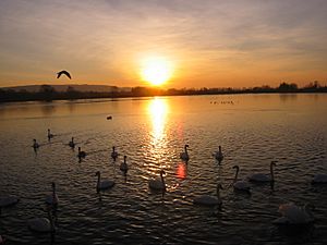
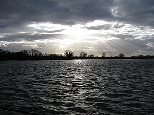
These four reservoirs were built on old marshlands. They have a diverse range of plants and animals, some of which are left from their marshland past. They are very important for breeding and wintering birds, especially shovelers, and also for insects and other small creatures.
- Public access: YES
- Managed by: HMWT
Tring Woodlands
This wood has many different plants, showing it's a well-established and old forest. It's one of the best examples of natural beech woodland in Hertfordshire. You can find plants like woodruff and wood anemone, and many woodland birds.
- Public access: YES
- Managed by: CAONB
Turnford and Cheshunt Pits
This site includes ten old gravel pits. They are nationally important for wintering gadwalls and shovelers (types of ducks). It's also a valuable place for insects, especially grasshoppers and bush-crickets.
- Public access: YES
Wain Wood
This wood has oak trees and other types of oak. The southern part of the area has acidic grassland. It's home to many butterfly species.
- Public access: YES
Water End Swallow Holes
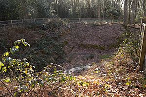
This site has more than fifteen sinkholes, which are unique in chalk landscapes. Next to the holes is a swampy area with willow trees that is very important for wildlife. You can also find reed sweet-grass in the deep water, and areas of woodland and grassland.
- Public access: YES
Westwood Quarry
This site helps us understand the early history of the River Thames. It shows how the river flowed through the Vale of St Albans before the Anglian Ice Age, about 450,000 years ago, changed its course to the south.
- Public access: NO
Whippendell Wood
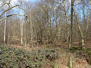
This is an ancient woodland with oak, ash, hazel, and hornbeam trees. On the ground, you'll find bluebells and honeysuckle. It's also home to many different types of fungi, insects, and birds.
- Public access: YES
Wormley-Hoddesdonpark Wood North
This wood has oak and hornbeam trees on gravel soil. The ground has many different plants, including dog's mercury. Small ponds and streams are important for mosses, and you might spot green tiger beetles here.
- Public access: YES
- Managed by: NNR, WT, HMWT
Wormley-Hoddesdonpark Wood South
This site is an oak and hornbeam woodland, mostly on London clay. The ground has a variety of plants like brambles, wood anemones, and bluebells. It also has marshland and acidic grassland areas.
- Public access: YES
- Managed by: NNR
See also
 | Leon Lynch |
 | Milton P. Webster |
 | Ferdinand Smith |


